Willow Tunnel
Location: County Durham
Made from material: willow
GPS coordinates: 54.75063,-1.58711
Latest update: November 11, 2025 19:17
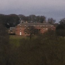
Burn Hall
1.1 km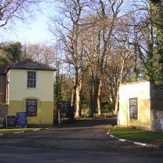
Mount Oswald
1.1 km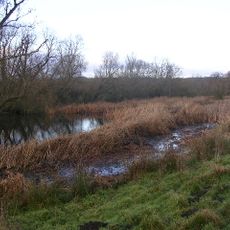
Butterby Oxbow
1 km
Water Pump North West Of Burn Hall
1 km
Cottage North-West Of Low Burn Hall Farmhouse
378 m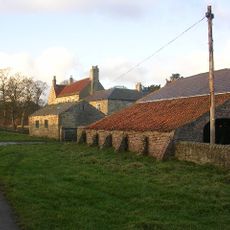
Low Butterby Farmhouse And Barn Adjoining At South-east
914 m
Farewell Hall West Farmhouse, Cottage And Farmbuildings Adjacent On North
326 m
Conservatory North West Of Burn Hall
1 km
Cow House Of Home Farm Burn Hall
801 m
Garden Wall North Of Burn Hall And Garden House Attached
979 m
Walls Surrounding Paddock To East Of Low Butterby Farmhouse
1 km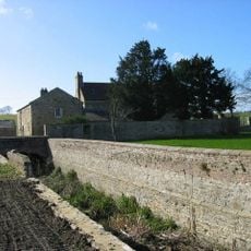
Moat Walls, 2 Bridges Across Moat, Garden Wall And Gate Piers At Low Butterby Farm
939 m
Moated site at Low Butterby Farm
901 m
Two Farmbuildings, Flanking Drive To South East Of Low Butterby Farmhouse
937 m
Mount Oswald (City Golf Club Clubhouse)
1.1 km
Garden Scheme Offices North West Of Burn Hall
992 m
Gateway And Railings To East Of Burn Hall
925 m
Ice-House To North-West Of Home Farm, Burn Hall
811 m
Durham City Golf Course
843 m
Stone Circle
304 m
Stone Spiral
605 m
Stepping Stones
731 m
Willow Arbour
1.1 km
Willow Miner's Wife
1.1 km
Willow Miner
151 m
Plant for the Future
992 m
Miners Children
168 m
Scenic viewpoint
74 mReviews
Visited this place? Tap the stars to rate it and share your experience / photos with the community! Try now! You can cancel it anytime.
Discover hidden gems everywhere you go!
From secret cafés to breathtaking viewpoints, skip the crowded tourist spots and find places that match your style. Our app makes it easy with voice search, smart filtering, route optimization, and insider tips from travelers worldwide. Download now for the complete mobile experience.

A unique approach to discovering new places❞
— Le Figaro
All the places worth exploring❞
— France Info
A tailor-made excursion in just a few clicks❞
— 20 Minutes