Source
Location: Northern Ireland / Tuaisceart Éireann
Creator: Ned Jackson Smyth
Creator: Ned Jackson Smyth
GPS coordinates: 55.11412,-6.66563
Latest update: November 8, 2025 12:42

Mount Sandel Mesolithic site
237 m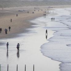
Portstewart Strand
7.8 km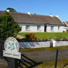
Liffock House
9.1 km
Bann Bridge
2.8 km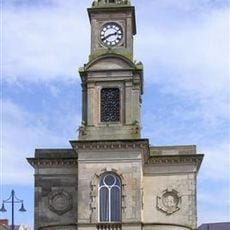
Town Hall The Diamond Coleraine Co.londonderry
2 km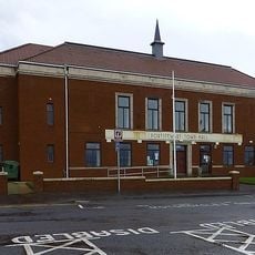
Portstewart Town Hall
8.4 km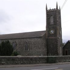
Macosquin Abbey
3.7 km
Portal Tomb von Crevolea
7.1 km
St. John's R C Church Kyle's Brae Coleraine Co.londonderry
1.7 km
St. Patrick's Church, Coleraine, Northern Ireland
2 km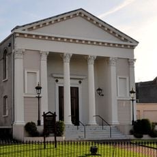
Methodist Church Circular Road Coleraine Co.londonderry
2.1 km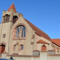
Presbyterian Church Church St./enfield St. Portstewart Co.londonderry
8.5 km
Palace Cinema
2.1 km
Riverside - Portstewart Golf Club
6.9 km
Palladium Cinema
8.7 km
Dunmill
7.6 km
Dunalis Upper (Ogham Site)
5 km
Coleraine Castle
2.2 km
Castlerock Golf Club
8.8 km
Movie House Coleraine
896 m
The Old Course - Portstewart Golf Club
8.9 km
North Coast Alpacas
7.1 km
Damhead Miniature Railway
4.3 km
Ecology
2 km
Towards Tomorrow
1.2 km
Sculpture, Work of art
8.8 km
Harbour Hill
9 km
Waterfall
394 mReviews
Visited this place? Tap the stars to rate it and share your experience / photos with the community! Try now! You can cancel it anytime.
Discover hidden gems everywhere you go!
From secret cafés to breathtaking viewpoints, skip the crowded tourist spots and find places that match your style. Our app makes it easy with voice search, smart filtering, route optimization, and insider tips from travelers worldwide. Download now for the complete mobile experience.

A unique approach to discovering new places❞
— Le Figaro
All the places worth exploring❞
— France Info
A tailor-made excursion in just a few clicks❞
— 20 Minutes