
Dunalis Upper, Ogham Site, Co. Londonderry
Location: Ulster
Location: County Londonderry
Location: Coleraine
Location: Dunboe
Part of: Ogi-Ogham Project, Irish ᚑᚌᚆᚐᚋ Stones in the Wikimedia Universe
GPS coordinates: 55.11667,-6.74444
Latest update: May 12, 2025 03:43
Royal Portrush Golf Club
12.1 km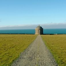
Mussenden Temple
7.1 km
Barry's Amusements
11.2 km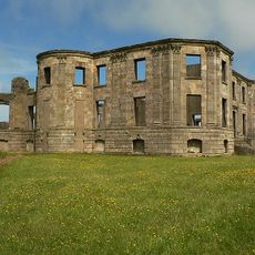
Downhill House
6.8 km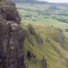
Binevenagh
11 km
Roe Valley Country Park
16.1 km
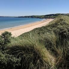
Portstewart Strand
5.7 km
Liffock House
5.2 km
Bann Bridge
5.2 km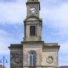
Town Hall The Diamond Coleraine Co.londonderry
4.9 km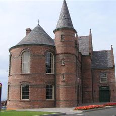
Portrush Town Hall
11.4 km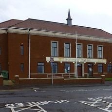
Portstewart Town Hall
7.5 km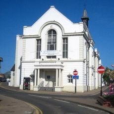
Ballymoney Town Hall
15.3 km
Roe Valley Arts & Cultural Centre
15.1 km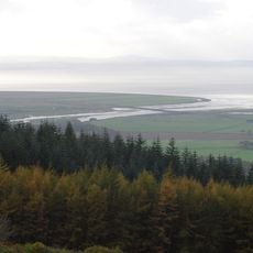
Roe Estuary Nature Reserve
15.5 km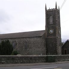
Macosquin Abbey
2.6 km
Passage Tomb von Moneydig
16.6 km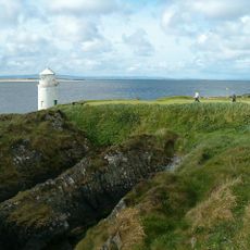
Warren Point Lighthouse
16.8 km
Limavady Baptist Church
15.3 km
St. John's R C Church Kyle's Brae Coleraine Co.londonderry
4.4 km
Ballymoney Museum
15.3 km
St. Patrick's Church, Coleraine, Northern Ireland
5.1 km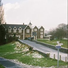
Roe Valley Hospital (former Workhouse) Benevenagh Avenue Limavady Co Londonderry Bt49 Oaq
14.8 km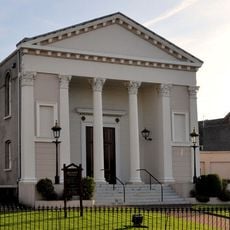
Methodist Church Circular Road Coleraine Co.londonderry
4.9 km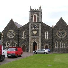
Holy Trinity Parish Church, Main St. Portrush
11.7 km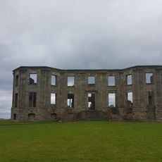
Mausoleum Downhill Demesne Castlerock Co. Londonderry
6.4 km
Our Lady And St. Patrick R C Church Castle St. Ballymoney Co.antrim
15.4 km
Presbyterian Church Church St./enfield St. Portstewart Co.londonderry
7.7 kmReviews
Visited this place? Tap the stars to rate it and share your experience / photos with the community! Try now! You can cancel it anytime.
Discover hidden gems everywhere you go!
From secret cafés to breathtaking viewpoints, skip the crowded tourist spots and find places that match your style. Our app makes it easy with voice search, smart filtering, route optimization, and insider tips from travelers worldwide. Download now for the complete mobile experience.

A unique approach to discovering new places❞
— Le Figaro
All the places worth exploring❞
— France Info
A tailor-made excursion in just a few clicks❞
— 20 Minutes