
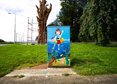
Under the Sea
Location: Clontarf East A Ward 1986
Location: Dublin
Inception: January 1, 2020
Creator: Jenny Cleary
Creator: Jenny Cleary
Website: https://pbs.twimg.com/media/Eeke5eTXYAIgh9W?format=jpg
GPS coordinates: 53.37413,-6.16491
Latest update: November 11, 2025 21:52
Saint Anne's Park
1.1 km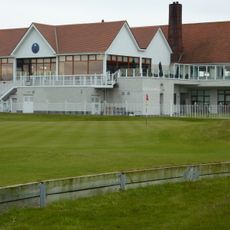
The Royal Dublin Golf Club
2 km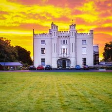
Manresa House, Dublin
1.2 km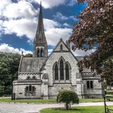
All Saints' Church, Raheny
1.1 km
St Brigid's Church, Killester
2.1 km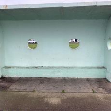
Clontarf Promenade shelter 8
2.3 km
St. Assam's Church
949 m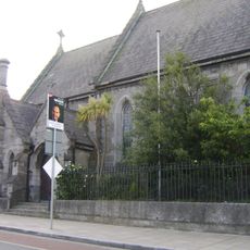
St. Assam's Church
958 m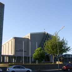
Church of Our Lady Mother of Divine Grace
1.1 km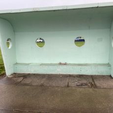
Clontarf Promenade shelter 5
2 km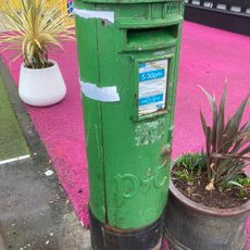
Clontarf Road (north) pillar postbox
1.9 km
Dollymount Strand
1.9 km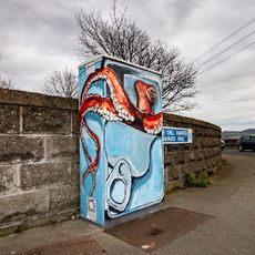
Octopus in a Sardine Can
1.9 km
St Anne's Park Pitch and Putt
941 m
Raheny Observatory
1.3 km
Spirituality maze
1.1 km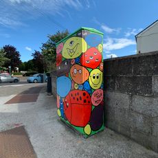
Raheny Rocks
1.2 km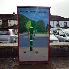
Raheny Water Pump
1.1 km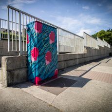
Jellyfish on Parade
1.9 km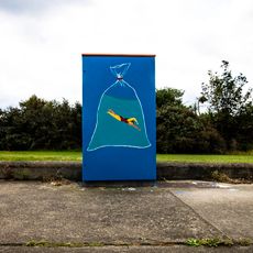
Strong Swimmer
2.4 km
St Anne's Golf Club
1.6 km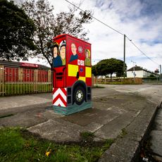
Fetch the Engine
1.9 km
Stay Paw-sitive
951 m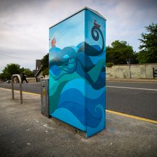
Duva, the good wave
1.1 km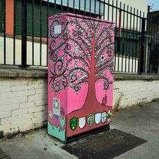
Roots of Edenmore
1.9 km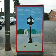
Millennium Clock
851 m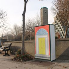
Georgian Door
997 m
Tree of Life
13 mReviews
Visited this place? Tap the stars to rate it and share your experience / photos with the community! Try now! You can cancel it anytime.
Discover hidden gems everywhere you go!
From secret cafés to breathtaking viewpoints, skip the crowded tourist spots and find places that match your style. Our app makes it easy with voice search, smart filtering, route optimization, and insider tips from travelers worldwide. Download now for the complete mobile experience.

A unique approach to discovering new places❞
— Le Figaro
All the places worth exploring❞
— France Info
A tailor-made excursion in just a few clicks❞
— 20 Minutes