Ore*
Location: City of Rochester
Creator: Jill Gussow
Made from material: concrete
Creator: Jill Gussow
GPS coordinates: 43.14287,-77.61290
Latest update: November 9, 2025 09:02
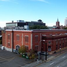
Geva Theatre Center
1.2 km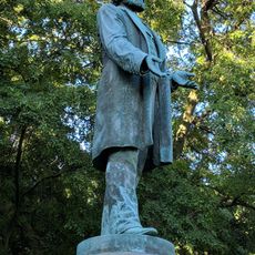
Statue of Frederick Douglass
1.2 km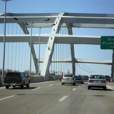
Frederick Douglass-Susan B. Anthony Memorial Bridge
966 m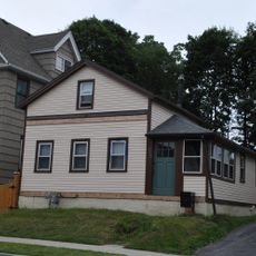
South Wedge Historic District
733 m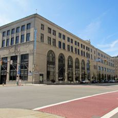
Gannett Building
1.2 km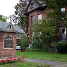
Linden-South Historic District
718 m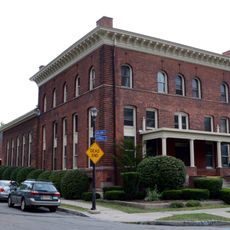
Nazareth House
296 m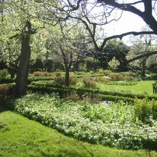
Ellwanger Garden
602 m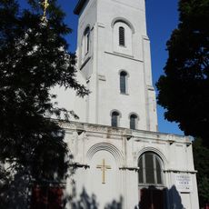
Immaculate Conception Church
558 m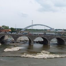
Court Street Bridge
1.2 km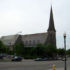
First Presbyterian Church
1.1 km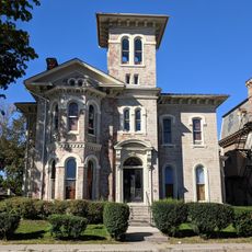
Third Ward Historic District
853 m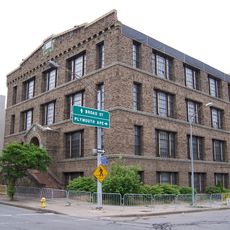
Bevier Memorial Building
1.2 km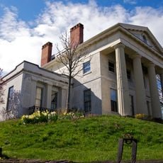
Hervey Ely House
1 km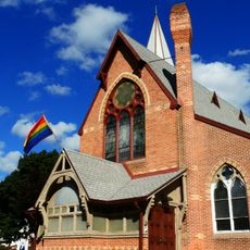
Saint Andrew's Episcopal Church
477 m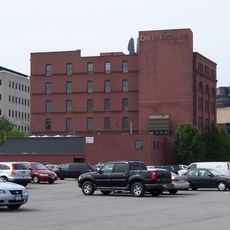
Court–Exchange Building
1.1 km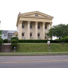
Jonathan Child House & Brewster–Burke House Historic District
1.2 km
Ebenezer Watts House
1.2 km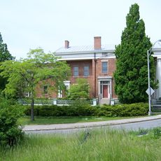
Campbell-Whittlesey House
919 m
Rochester City School No. 24
1.2 km
Mount Hope-Highland Historic District
796 m
House at 235–237 Reynolds Street
1.1 km
Equal Grounds Coffee House
710 m
Fine Arts Theatre
700 m
BoulevART
1.2 km
Work of art, sculpture
625 m
Statue, Work of art
711 m
Upper Falls
1.1 kmReviews
Visited this place? Tap the stars to rate it and share your experience / photos with the community! Try now! You can cancel it anytime.
Discover hidden gems everywhere you go!
From secret cafés to breathtaking viewpoints, skip the crowded tourist spots and find places that match your style. Our app makes it easy with voice search, smart filtering, route optimization, and insider tips from travelers worldwide. Download now for the complete mobile experience.

A unique approach to discovering new places❞
— Le Figaro
All the places worth exploring❞
— France Info
A tailor-made excursion in just a few clicks❞
— 20 Minutes