
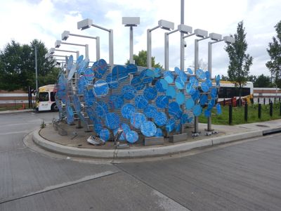
Artwork portrays deconstructed street map of Baltimore. Forms series of panels around bus operator restrooms.
Artwork portrays deconstructed street map of Baltimore. Forms series of panels around bus operator restrooms.
Location: Baltimore
Inception: January 1, 2017
Made from material: mixed
GPS coordinates: 39.29317,-76.65203
Latest update: November 20, 2025 00:29
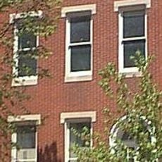
H. L. Mencken House
1.1 km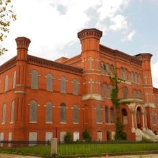
Hebrew Orphan Asylum
960 m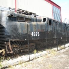
Pennsylvania Railroad 4876
1.6 km
Hollins Market
1.2 km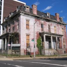
Sellers Mansion
1.5 km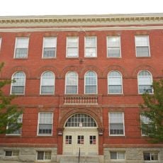
Franklin Square Historic District
1.1 km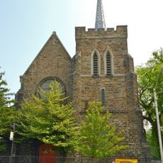
St. Luke's Church
1.2 km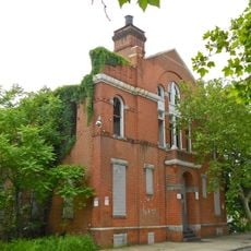
Public School No. 111
1.5 km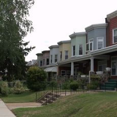
Edmondson Avenue Historic District
1.1 km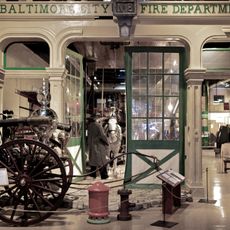
Engine House No. 8
1.4 km
Bishop Cummins Reformed Episcopal Church
1.3 km
Capitol Theatre
1 km
Union Square-Hollins Market Historic District
1.3 km
West End Theatre
975 m
Victor Theatre
816 m
New Horn Theatre
925 m
Monroe Theatre
964 m
Black Leaders
1.3 km
James L. Ridgely Monument
905 m
Baltimore Rising
1.3 km
Black Cherry Puppet Theater
1.6 km
Steel Henge
1.1 km
Kinship
1.2 km
James L. Ridgely Monument
904 m
Mural, Work of art
1.6 km
Work of art, mural
1.2 km
Work of art, sculpture
1.4 km
Waterfall
1.3 kmReviews
Visited this place? Tap the stars to rate it and share your experience / photos with the community! Try now! You can cancel it anytime.
Discover hidden gems everywhere you go!
From secret cafés to breathtaking viewpoints, skip the crowded tourist spots and find places that match your style. Our app makes it easy with voice search, smart filtering, route optimization, and insider tips from travelers worldwide. Download now for the complete mobile experience.

A unique approach to discovering new places❞
— Le Figaro
All the places worth exploring❞
— France Info
A tailor-made excursion in just a few clicks❞
— 20 Minutes