Graffiti on the west side of the pier.
Location: Bainbridge Island
GPS coordinates: 47.71157,-122.56421
Latest update: November 1, 2025 11:32
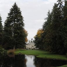
Bloedel Reserve
1.3 km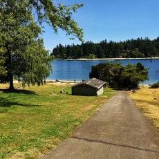
Old Man House
1.5 km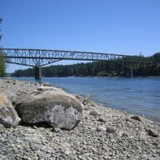
Agate Pass Bridge
163 m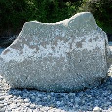
Haleets
1.7 km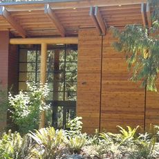
Suquamish Museum and Cultural Center
1.4 km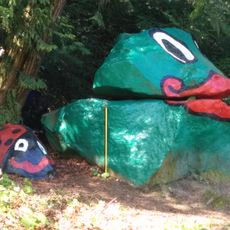
Frog Rock
3.5 km
Hidden Cove Public Road End
2.4 km
Sivertson Road Shore View
2.2 km
Work of art
1.5 km
Work of art
1.5 km
Northgate Totem Canoe
621 m
Work of art
1.5 km
North Street Northeast Public Road End
1.6 km
Grotle Street Road End
2.5 km
Whitty Way Public Road End
2.4 km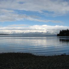
Gordon Drive Road End
2.3 km
Sanwick Place Road End
851 m
Seabold Road Public Road End
1.2 km
Northgate Totem
594 m
Skogen Lane Public Road End
2.5 km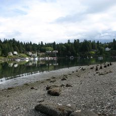
Broom Street Road End
2.8 km
Scenic viewpoint
2.9 km
Work of art
2.9 km
Beach Place Public Road End
3 km
Lafayette Avenue Public Road End
3 km
Installation artwork, Work of art
3.4 km
Frog Rock
3.5 km
Ladybug Rock
3.5 kmReviews
Visited this place? Tap the stars to rate it and share your experience / photos with the community! Try now! You can cancel it anytime.
Discover hidden gems everywhere you go!
From secret cafés to breathtaking viewpoints, skip the crowded tourist spots and find places that match your style. Our app makes it easy with voice search, smart filtering, route optimization, and insider tips from travelers worldwide. Download now for the complete mobile experience.

A unique approach to discovering new places❞
— Le Figaro
All the places worth exploring❞
— France Info
A tailor-made excursion in just a few clicks❞
— 20 Minutes