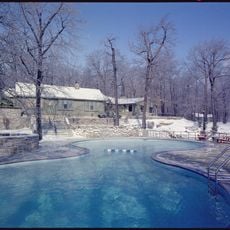
Camp David
7.3 km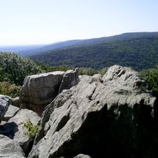
Catoctin Mountain
7.1 km
Pen Mar Park
2.8 km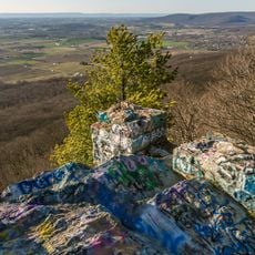
Quirauk Mountain
949 m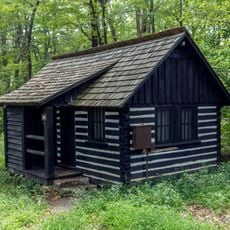
Camp Greentop Historic District
6.9 km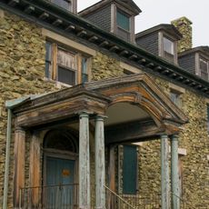
Victor Cullen Center, Old Administration Building
6 km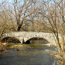
Welty's Mill Bridge
6.3 km
Monterey Historic District
6.5 km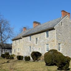
Royer-Nicodemus House and Farm
6.3 km
Huckleberry Hall
5.8 km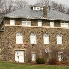
Victor Cullen School Power House
5.7 km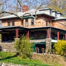
Tipahato
3.3 km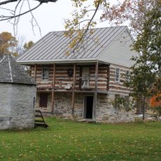
Handycraft Farmstead
7.7 km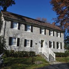
Rockledge
7.6 km
Red Run Lodge
4.7 km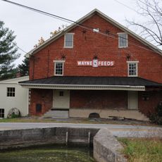
Springdale Mills
4.9 km
Renfrew Museum and Park
6.3 km
Clermont Crag
5.6 km
Mt. Moriah Lutheran Church
5.7 km
Catoctin Mountain Park Resource Management Office
6.5 km
Raven Rock Shelter
2.5 km
Waynesboro Municipal Golf Course
7.3 km
Monterey Country Club
6.2 km
Waynesboro Country Club
7.3 km
Teatron
5.4 km
Old Benjamin Omanut
4.9 km
Beach Front
5 km
Scenic viewpoint
3.5 kmReviews
Visited this place? Tap the stars to rate it and share your experience / photos with the community! Try now! You can cancel it anytime.
Discover hidden gems everywhere you go!
From secret cafés to breathtaking viewpoints, skip the crowded tourist spots and find places that match your style. Our app makes it easy with voice search, smart filtering, route optimization, and insider tips from travelers worldwide. Download now for the complete mobile experience.

A unique approach to discovering new places❞
— Le Figaro
All the places worth exploring❞
— France Info
A tailor-made excursion in just a few clicks❞
— 20 Minutes