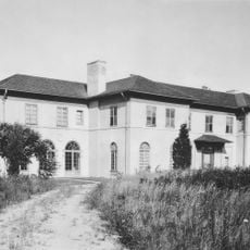
Stormfield
2.1 km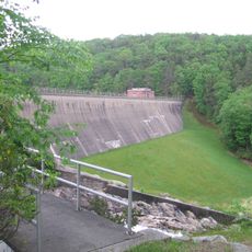
Saugatuck Reservoir
6.2 km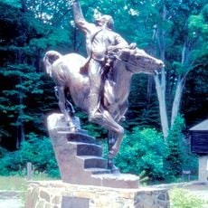
Putnam Memorial State Park
4.2 km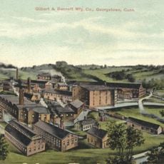
Georgetown Historic District
6.2 km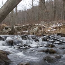
Bennett's Pond State Park
6.4 km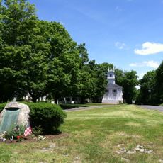
Redding Center Historic District
2.5 km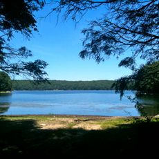
Centennial Watershed State Forest
5.9 km
Highstead Arboretum
2.7 km
Aaron Barlow House
1.8 km
Hugh Cain Fulling Mill and Elias Glover Woolen Mill Archeological Site
3.9 km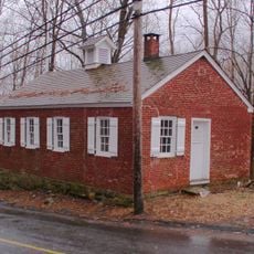
Umpawaug District School
1.7 km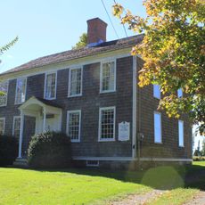
Daniel and Esther Bartlett House
2.1 km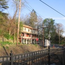
Branchville Railroad Tenement
5.4 km
Eureka Lake
6.2 km
Great Pond
4.9 km
Bushy Hill Pond
6.1 km
Sugar Hollow Taproom
5.8 km
3-town marker
5.1 km
Chestnut Ridge Reservoir
4.5 km
Scenic viewpoint
4.3 km
Scenic viewpoint
3 km
Scenic viewpoint
2.9 km
Scenic viewpoint
4.9 km
Scenic viewpoint
6.1 km
Scenic viewpoint
4.9 km
Scenic viewpoint
5 km
Scenic viewpoint
3.3 km
Scenic viewpoint
3.2 kmReviews
Visited this place? Tap the stars to rate it and share your experience / photos with the community! Try now! You can cancel it anytime.
Discover hidden gems everywhere you go!
From secret cafés to breathtaking viewpoints, skip the crowded tourist spots and find places that match your style. Our app makes it easy with voice search, smart filtering, route optimization, and insider tips from travelers worldwide. Download now for the complete mobile experience.

A unique approach to discovering new places❞
— Le Figaro
All the places worth exploring❞
— France Info
A tailor-made excursion in just a few clicks❞
— 20 Minutes