Georgetown Historic District

Log in to your account

AroundUs is a community-driven map of interesting places, built by curious explorers like you. It grows with every review, story, and photo you share.
Connect to save your favorite spots, contribute locations, and create personalized routes.
Continue with Google
Continue with Apple
Continue with X
Continue with Facebook
Continue with email
By continuing, you accept our Terms and Conditions and our Privacy Policy
Create an account
Add to collection
Map
Suggest a change
Share

Georgetown Historic District, Historic district in Georgetown, Connecticut.

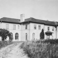
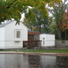
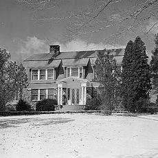
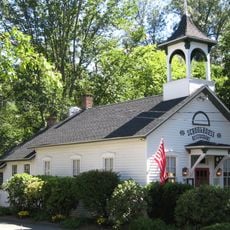
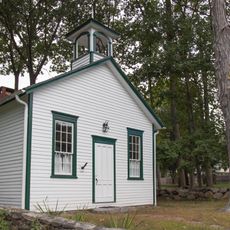
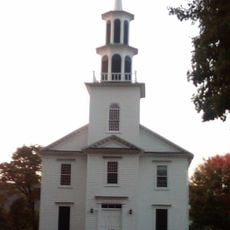
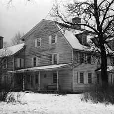
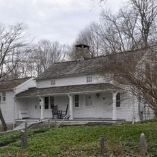
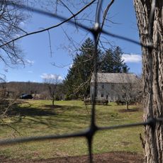
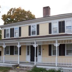
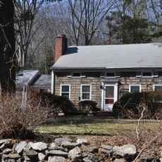
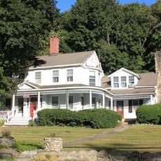
Georgetown Historic District spans approximately 125 acres across parts of Connecticut's towns including Wilton, Redding, Weston, and Ridgefield. The area contains industrial buildings that once housed manufacturing operations alongside residential homes and other structures built over many decades.

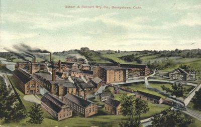
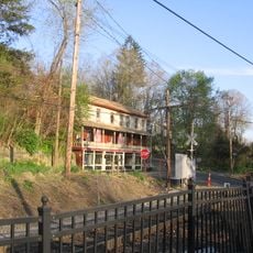
The Gilbert & Bennett Manufacturing Company started as a small operation making wire products and became a significant employer in the 19th century. This growth shaped how the landscape developed, with factories and worker housing spreading across the area over many years.

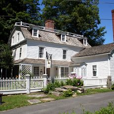
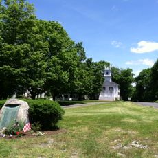
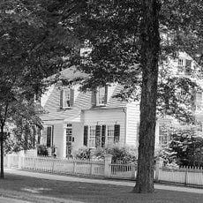
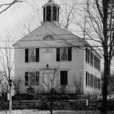
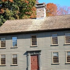
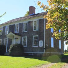
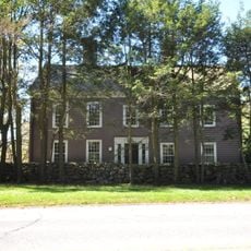
The name Georgetown refers to its founding families and early settlement patterns in this rural area. Walking through the district today, you can observe how residential homes sit alongside former factory buildings, showing how workers and owners once shared the same community spaces.

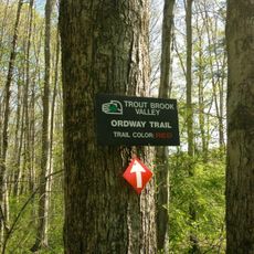
The district is spread across several towns, so plan to drive or walk to see the different areas and building styles throughout. Some properties are still in active use, so respect any private spaces and keep to public roads and viewpoints when exploring the historic structures.

The area is notable for how it blends industrial and residential spaces in one location, a pattern that was common for worker communities but less common in preserved form today. This mixed-use approach to settling the landscape reflects practical decisions made generations ago that still shape how the district feels when you walk through it.

Location: Connecticut

Architectural style: Renaissance Revival architecture

GPS coordinates: 41.25528,-73.43139

Latest update: December 14, 2025 14:26

Photos
Around this place
Stormfield
United States of America

Stormfield

4.7 km
Saugatuck Reservoir
United States of America

Saugatuck Reservoir

5.7 km
Keeler Tavern
United States of America

Keeler Tavern

5.8 km
Aldrich Contemporary Art Museum
United States of America

Aldrich Contemporary Art Museum

6 km
Frederic Remington House
United States of America

Frederic Remington House

7.9 km
Trout Brook Valley State Park Reserve
United States of America

Trout Brook Valley State Park Reserve

7.5 km
Cannondale Historic District
United States of America

Cannondale Historic District

3.7 km
Phineas Chapman Lounsbury House
United States of America

Phineas Chapman Lounsbury House

6.2 km
Redding Center Historic District
United States of America

Redding Center Historic District

6.8 km
Woodcock Nature Center
United States of America

Woodcock Nature Center

3.6 km
Centennial Watershed State Forest
United States of America

Centennial Watershed State Forest

5.6 km
Ridgefield Center Historic District
United States of America

Ridgefield Center Historic District

6 km
Wilton Center Historic District
United States of America

Wilton Center Historic District

6.7 km
Highstead Arboretum
United States of America

Highstead Arboretum

8.6 km
Hurlbutt Street School
United States of America

Hurlbutt Street School

6.3 km
Norfield Historic District
United States of America

Norfield Historic District

7.5 km
David Lambert House
United States of America

David Lambert House

8.4 km
Benedict House and Shop
United States of America

Benedict House and Shop

5.4 km
Aaron Barlow House
United States of America

Aaron Barlow House

7.3 km
Marvin Tavern
United States of America

Marvin Tavern

4.9 km
Hugh Cain Fulling Mill and Elias Glover Woolen Mill Archeological Site
United States of America

Hugh Cain Fulling Mill and Elias Glover Woolen Mill Archeological Site

5.3 km
Kettle Creek Historic District
United States of America

Kettle Creek Historic District

9.2 km
Bradley Edge Tool Company Historic District
United States of America

Bradley Edge Tool Company Historic District

9.1 km
Sloan-Raymond-Fitch House
United States of America

Sloan-Raymond-Fitch House

7.5 km
Daniel and Esther Bartlett House
United States of America

Daniel and Esther Bartlett House

7.3 km
Branchville Railroad Tenement
United States of America

Branchville Railroad Tenement

1.3 km
Abijah Comstock House
United States of America

Abijah Comstock House

9 km
Landis Gores House
United States of America

Landis Gores House

8.4 km
Show the full map
Reviews

Visited this place? Tap the stars to rate it and share your experience / photos with the community! Try now! You can cancel it anytime.

« Georgetown Historic District - Historic district in Georgetown, Connecticut » is provided by Around Us (aroundus.com). Images and texts are derived from Wikimedia project under a Creative Commons license. You are allowed to copy, distribute, and modify copies of this page, under the conditions set by the license, as long as this note is clearly visible.

Discover hidden gems everywhere you go!

From secret cafés to breathtaking viewpoints, skip the crowded tourist spots and find places that match your style. Our app makes it easy with voice search, smart filtering, route optimization, and insider tips from travelers worldwide. Download now for the complete mobile experience.

Around Us App Screenshot

A unique approach to discovering new places

Le Figaro

All the places worth exploring

France Info

A tailor-made excursion in just a few clicks

20 Minutes