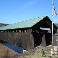
Old Blenheim Bridge
6.7 km
Gilboa Fossil Forest
14.6 km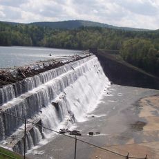
Schoharie Reservoir
14.9 km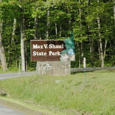
Max V. Shaul State Park
3.5 km
Bouck's Falls
3.6 km
Lansing Manor House
9.8 km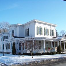
Dr. Christopher S. Best House and Office
9.8 km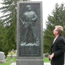
Upper Middleburgh Cemetery
9.8 km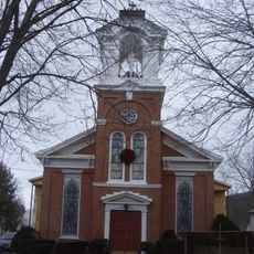
St. Mark's Evangelical Lutheran Church
9.9 km
Christian Hess House and Shoemaker's Shop
15 km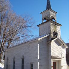
Livingstonville Community Church
10.6 km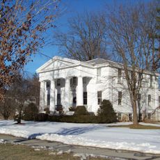
Bellinger-Dutton House
10.4 km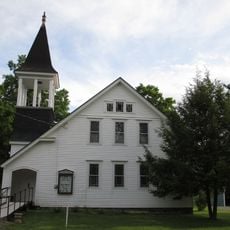
West Fulton Methodist Church
7.5 km
Breakabeen Historic District
686 m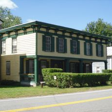
North Blenheim Historic District
7.4 km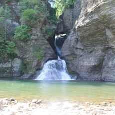
Mine Kill State Park
11 km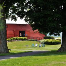
New York Power Authority Blenheim-Gilboa Visitors Center
9.9 km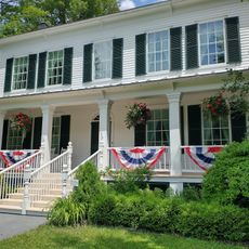
Lansing Manor House
9.9 km
Vromans Nose
8.2 km
The Cliff
11.3 km
Waterfall observation deck
12.1 km
Scenic viewpoint
9.3 km
Scenic viewpoint
8.3 km
Scenic viewpoint
8.3 km
Scenic viewpoint
10.8 km
Mine Kill Falls
12.1 km
Creamery Falls
8 km
Boucks Falls
3.6 kmReviews
Visited this place? Tap the stars to rate it and share your experience / photos with the community! Try now! You can cancel it anytime.
Discover hidden gems everywhere you go!
From secret cafés to breathtaking viewpoints, skip the crowded tourist spots and find places that match your style. Our app makes it easy with voice search, smart filtering, route optimization, and insider tips from travelers worldwide. Download now for the complete mobile experience.

A unique approach to discovering new places❞
— Le Figaro
All the places worth exploring❞
— France Info
A tailor-made excursion in just a few clicks❞
— 20 Minutes