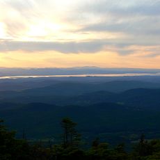
Cannon
Location: Bristol
Inception: October 1, 1898
GPS coordinates: 44.13349,-73.07887
Latest update: November 17, 2025 16:32
Mount Abraham
11.5 km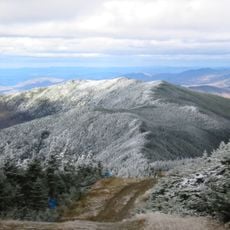
Mount Ellen
12.3 km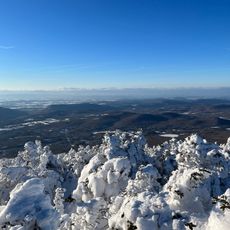
Lincoln Peak
12.1 km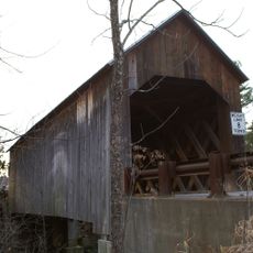
Halpin Covered Bridge
10.5 km
Bristol Cliffs Wilderness
4.4 km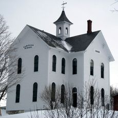
Lampson School
5.2 km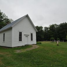
South Starksboro Friends Meeting House and Cemetery
6.4 km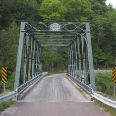
Bridge 26
11.4 km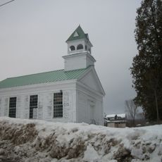
Union Church
5.2 km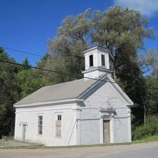
Brooksville Advent Church
10.7 km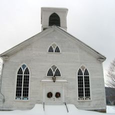
Starksboro Village Meeting House
10.4 km
Hoag Gristmill and Knight House Complex
12.3 km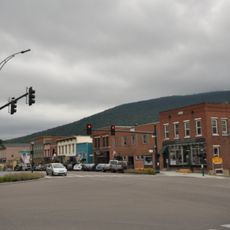
Bristol Downtown Historic District
141 m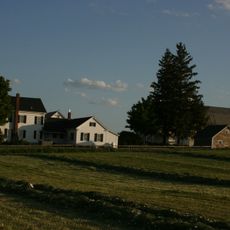
Bottum Farm
6.4 km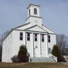
Monkton Borough Baptist Church
11.9 km
Deer Leap Mountain
1.5 km
Bristol Ledges
1.1 km
Marble Ledge
10.5 km
Halpin Covered Bridge
10.5 km
Scenic viewpoint
12.4 km
Scenic viewpoint
11.5 km
Scenic viewpoint
12.1 km
Scenic viewpoint
12 km
Scenic viewpoint
11.5 km
Dog Team Falls
10.8 km
Abbey Pond Cascades (upper)
11.2 km
Abbey Pond Cascades (lower)
11.2 km
Bartlett Falls
2.7 kmReviews
Visited this place? Tap the stars to rate it and share your experience / photos with the community! Try now! You can cancel it anytime.
Discover hidden gems everywhere you go!
From secret cafés to breathtaking viewpoints, skip the crowded tourist spots and find places that match your style. Our app makes it easy with voice search, smart filtering, route optimization, and insider tips from travelers worldwide. Download now for the complete mobile experience.

A unique approach to discovering new places❞
— Le Figaro
All the places worth exploring❞
— France Info
A tailor-made excursion in just a few clicks❞
— 20 Minutes