Mount Abraham, Summit in Addison County, Vermont, US.
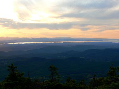
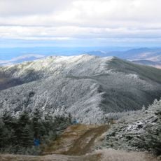
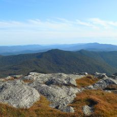
Mount Abraham is a peak in Vermont's Green Mountains that rises above 4,000 feet (1,220 m), placing it among the few summits in the state that reach above the treeline. Above the treeline, bare rock and low alpine plants cover the upper slopes, leaving the summit open to the sky.
Early 19th-century maps labeled the peak as Potato Hill before it was renamed after President Abraham Lincoln. This kind of renaming was common across the region after the Civil War, when many places were given the names of public figures.
The Long Trail passes over the summit, connecting it to other peaks along the Green Mountain ridge. Hikers from across the region use this route as part of longer journeys through Vermont.
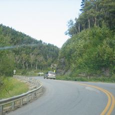
The trail starts from Lincoln Gap Road and passes a shelter partway up, which offers a place to rest before the steeper upper section. Good boots and extra layers are worth bringing, as conditions above the treeline can change quickly.
The wreckage of a small plane that crashed in 1973 is still scattered on the northern slope, where the aircraft clipped trees in dense fog. All those on board survived, and the remaining pieces of wreckage can still be spotted among the trees today.
The community of curious travelers
AroundUs brings together thousands of curated places, local tips, and hidden gems, enriched daily by 60,000 contributors worldwide.