Buels Gore, Gore territory in Chittenden County, Vermont, United States.
Description
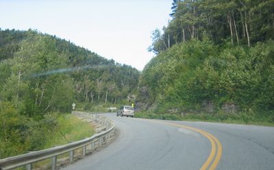
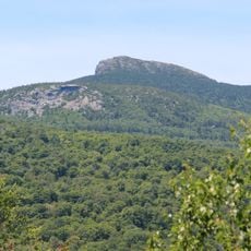
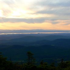
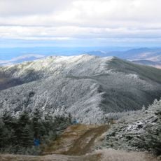
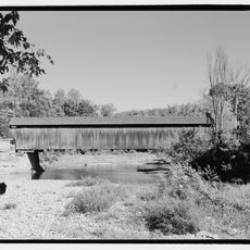
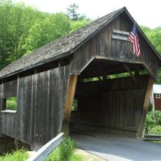
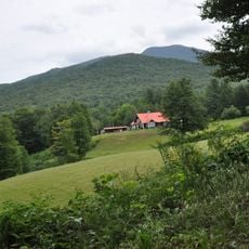
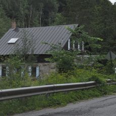
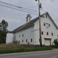
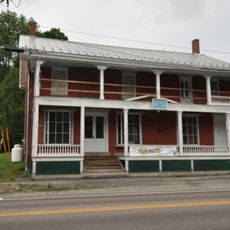
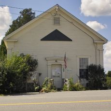
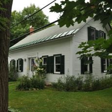
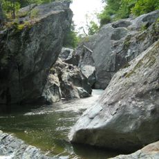
Buels Gore is an unincorporated territory at the southern edge of Chittenden County, occupying remote mountainous land in Vermont. The landscape consists mainly of forested slopes with the Green Mountains dominating the eastern portion, crossed by a single highway that serves as the main passage through the area.
History
This territory was chartered by the Vermont General Assembly in 1780 and named after Major Elias Buel, a settler who came from Connecticut. The establishment reflects Vermont's early administrative expansion across its mountainous interior regions.
Culture
The territory maintains minimal self-governance as an unincorporated portion of Chittenden County, reflecting Vermont's distinct administrative structure for sparsely populated areas.
Practical
Access to the area is mainly through Vermont Route 17, which crosses the territory and reaches its highest elevation at Appalachian Gap. Visitors should be aware that services are minimal and the terrain is quite remote and mountainous.
Did you know?
The population of Buels Gore decreased from 30 residents in 2010 to 29 in 2020, making it one of Vermont's least populated administrative territories.
AroundUs brings together thousands of curated places, local tips, and hidden gems, enriched daily by 60,000 contributors worldwide. Discover all places nearby (Chittenden County).
Camel's Hump
13.4 km
Mount Abraham
9.9 km
Mount Ellen
5.6 km
Great Eddy Covered Bridge
10.3 kmLincoln Peak
9.2 km
Warren Covered Bridge
13.1 km
Birds of Vermont Museum
16.6 km
Pine Brook Covered Bridge
12.6 km
Camels Hump State Forest
9.2 km
Honey Hollow Camp
16.1 km
Knoll Farm
8.5 km
Joslin Farm
12 km
South Starksboro Friends Meeting House and Cemetery
6.9 km
Warren Village Historic District
12.9 km
Mad River Valley Rural Historic District
12.7 km
Huntington Lower Village Church
13.5 km
Starksboro Village Meeting House
8.8 km
Hoag Gristmill and Knight House Complex
10.3 km
Bristol Downtown Historic District
13.2 km
Martin M. Bates Farmstead
17.9 km
Bottum Farm
18.1 km
Remington-Williamson Farm
10.3 km
Waitsfield Village Historic District
10.3 km
Monkton Town Hall
14.8 km
Waitsfield Common Historic District
12.5 km
Jones-Pestle Farmstead
10.7 km
Monkton Borough Baptist Church
15.1 km
Huntington Gorge
17.8 kmDiscover hidden gems everywhere you go!
From secret cafés to breathtaking viewpoints, skip the crowded tourist spots and find places that match your style. Our app makes it easy with voice search, smart filtering, route optimization, and insider tips from travelers worldwide. Download now for the complete mobile experience.
A unique approach to discovering new places❞
— Le Figaro
All the places worth exploring❞
— France Info
A tailor-made excursion in just a few clicks❞
— 20 Minutes