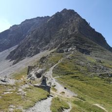
Via ferrata des aiguilles rouges, Via ferrata in the Névache valley, Hautes-Alpes, France.
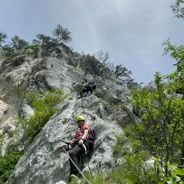
The via ferrata des Aiguilles Rouges, also called Via Corda, offers a climbing route equipped with iron rungs and bolts but without a continuous safety cable, requiring climbers to use a climbing rope and collaborative movement techniques to ascend approximately 1,475 feet (450 meters) with an elevation gain of about 1,150 feet (350 meters).
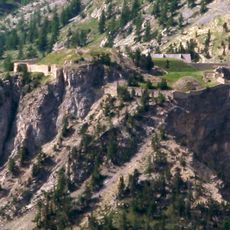
Built in the early twentieth century to facilitate access to remote alpine peaks for rescue and survey missions, this via ferrata became a popular training route for mountaineers and helped establish technical climbing standards in the Névache region over the following decades.
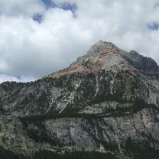
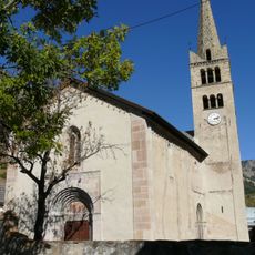
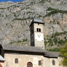
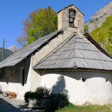
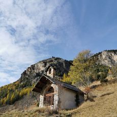
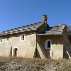
The Névache region in the Hautes-Alpes department has preserved its alpine farming traditions while adapting to mountain tourism, offering visitors a combination of outdoor sports and local cultural experiences centered on mountaineering and exploration of natural landscapes in the French Alps.
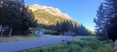
The route starts at col de l'Échelle at approximately 5,200 feet (1,580 meters) elevation, accessible from a parking area at the northern end of the pass, with an approach trail taking about ninety minutes through woodland to the red rock face, requiring helmet, harness, and personal climbing protection equipment.
Unlike traditional via ferrata routes, this course requires climbers to move in roped teams of up to four members, spaced 20 feet (6 meters) apart, using a climbing rope rather than a fixed cable to secure themselves during progression on rungs and natural rock features along the ascent.
The community of curious travelers
AroundUs brings together thousands of curated places, local tips, and hidden gems, enriched daily by 60,000 contributors worldwide.