Carson
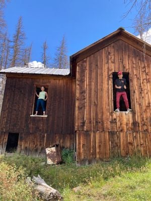
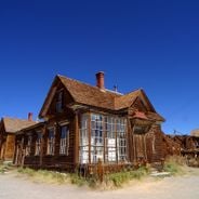
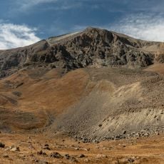
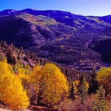
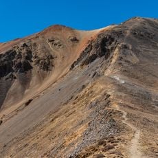
Carson is a former mining settlement in the mountains of Hinsdale County, Colorado, located at over 11,600 feet above sea level. The place consists of scattered wooden and stone structures that date from the silver mining era and now stand in an alpine landscape near the Continental Divide.
John Christopher Carson discovered mineral deposits in 1876 but did not return until 1881 to establish mining claims. The place thrived from 1882 through the early 1900s with hundreds of registered claims and several mining operations like the St. Jacob Mine, but was abandoned after 1902 when owners sold their properties.
The settlement took its name from John Christopher Carson, who explored the area in 1876. The remaining structures reflect how miners from different backgrounds lived and worked together in harsh mountain conditions.
Reaching Carson requires a vehicle with high clearance and four-wheel drive because the route from the Alpine Loop through Wager Gulch is steep, narrow, and rocky. The best time to visit is summer through early fall when conditions are more favorable, and visitors should bring water, snacks, and a map.
The settlement sat directly on the Continental Divide, where water from the town flowed in two directions, part toward the Pacific Ocean and part toward the Atlantic. Miners transported ore downhill on toboggans during winter when snowy slopes were easier to navigate than icy or impassable roads.
The community of curious travelers
AroundUs brings together thousands of curated places, local tips, and hidden gems, enriched daily by 60,000 contributors worldwide.