Linhares

Log in to your account

AroundUs is a community-driven map of interesting places, built by curious explorers like you. It grows with every review, story, and photo you share.
Connect to save your favorite spots, contribute locations, and create personalized routes.
Continue with Google
Continue with Apple
Continue with X
Continue with Facebook
Continue with email
By continuing, you accept our Terms and Conditions and our Privacy Policy
Create an account

Linhares

Add to collection
Map
Suggest a change
Share

Linhares

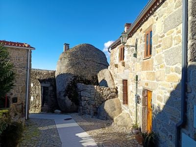
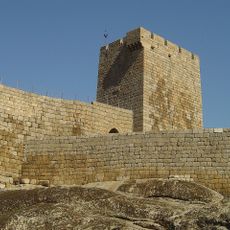
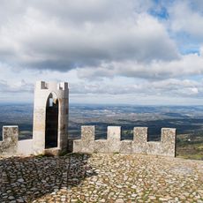
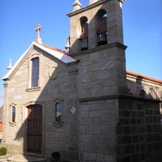
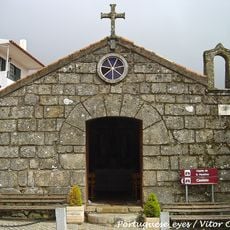
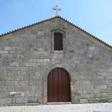
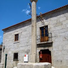
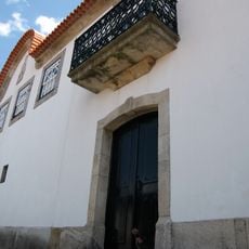
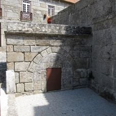
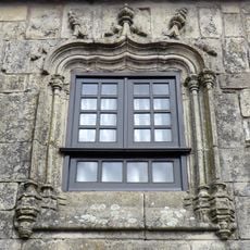
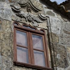
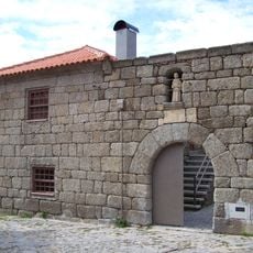
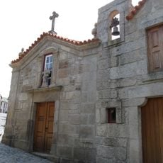
Linhares is a village built on stone foundations with narrow winding streets and granite houses topped with tiled roofs and small windows. A 12th-century castle sits on a rock above the village, featuring thick stone walls, two towers, and views over the valley and the Mondego River flowing below.

The village started as a hilltop fort built by the Lusitanian tribe in ancient times, later controlled by Romans, Visigoths, and Muslims due to its strategic position. King Afonso Henriques granted Linhares its first official charter in 1169, and King Dinis rebuilt the castle in the 13th century on the site of an older Moorish fortress.

The name Linhares comes from the Portuguese word for flax, a crop that shaped the area for centuries and remains part of the local identity. Walking through the village today, you notice how this agricultural heritage still influences the simple, grounded way residents move through their daily lives.

The village is easiest to reach by car or motorcycle, though train service to nearby Celorico da Beira with a taxi ride is also an option. Marked walking trails lead into the surrounding mountains and are simple to follow, making them perfect for a day out or a casual walk in nature.

In 1189, the village helped defend nearby Celorico against armies from León and Castile, an event so significant it was immortalized on the coat of arms with a crescent moon and five stars. This focus on military defense shaped the village's layout and structure in ways still visible today.

Location: Linhares

Address: Linhares, 6360-080, Portugal

GPS coordinates: 40.54074,-7.46119

Latest update: January 20, 2026 16:20

Photos
Center of Portugal: historic sites, villages and nature between mountain and ocean

The Center of Portugal brings together university towns, villages of stone built into the mountains, sandy beaches, and forests reaching up to the peaks of Serra da Estrela. Between the Atlantic coast and the inland, this area shows old cathedrals, monasteries listed by UNESCO, canals lined with...

Reviews

Visited this place? Tap the stars to rate it and share your experience / photos with the community! Try now! You can cancel it anytime.

« Linhares » is provided by Around Us (aroundus.com). Images and texts are derived from Wikimedia project under a Creative Commons license. You are allowed to copy, distribute, and modify copies of this page, under the conditions set by the license, as long as this note is clearly visible.

Discover hidden gems everywhere you go!

From secret cafés to breathtaking viewpoints, skip the crowded tourist spots and find places that match your style. Our app makes it easy with voice search, smart filtering, route optimization, and insider tips from travelers worldwide. Download now for the complete mobile experience.

Around Us App Screenshot

A unique approach to discovering new places

Le Figaro

All the places worth exploring

France Info

A tailor-made excursion in just a few clicks

20 Minutes