Upper Palatine Forest, Mountain range in Bavaria, Germany
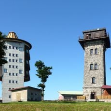
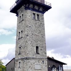
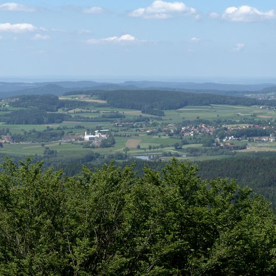
The Upper Palatine Forest is a low mountain range stretching about 100 km from Waldsassen in the north to Waldmünchen in the south, along the Czech-German border. Its highest point, Čerchov at 1,042 m, carries the Kurz observation tower; the ridge is mostly forested, with flat crests and broad shallow valleys.
Settlement began with monasteries at Kladruby, Teplá and Waldsassen in the 12th and 13th centuries, which cleared the forest. From the late 13th century the Chods and the Tachov fief-holders guarded the border. After 1596 the Přimda and Tachov estates passed to nobles, and after the Battle of White Mountain new owners turned the woods to glassworks, paper mills and ironworks.
The range's Czech name, Český les, and its German counterpart, Oberpfälzer Wald, reflect the border that runs along the ridge. Place names recall the glassworks founded from the 16th century, such as Stará Huť near Hostouň and Kollerova Huť, established around 1746 by František Koller. The Chods, settled here by the late 13th century, guarded the frontier.
The range runs about 100 km from Waldsassen in the north to Waldmünchen in the south, roughly 30–40 km wide. The highest ground is Čerchov at 1,042 m, topped by Kurz's lookout tower; the eastern slopes are steeper because of fault lines, while the ridges are flat and the valleys broad and shallow.
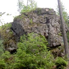
The range was known for gold deposits that were repeatedly worked in the past; in 2009 the Deutsche Rohstoff AG resumed exploration. Its rocks are mainly gneisses with some Redwitzite and calc-silicate rocks, plus granite intrusions such as the Leuchtenberger and Flossenbürger granite.
The community of curious travelers
AroundUs brings together thousands of curated places, local tips, and hidden gems, enriched daily by 92,306 contributors worldwide.