
Sedlec, village in Břeclav District of South Moravian region
Location: Микулов
Location: Břeclav District
Location: Микулов
Elevation above the sea: 187 m
Shares border with: Mikulov, Bulhary, Lednice, Hlohovec, Valtice, Drasenhofen
Email: starosta@sedlecumikulova.cz
Website: http://sedlecumikulova.cz
GPS coordinates: 48.77892,16.69388
Latest update: March 16, 2025 02:14
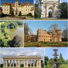
Lednice-Valtice Cultural Landscape
6 km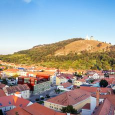
Svatý kopeček
4.6 km
Border Castle
4.7 km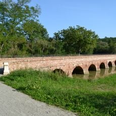
Cihlový most k Tichému ostrovu u Mikulova
1.8 km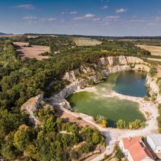
Lom Janičův vrch
4.4 km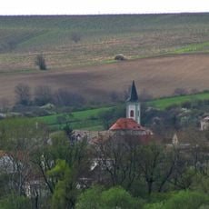
Church of Saint Stanislaus
3.9 km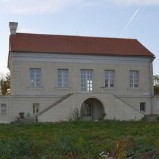
Letohrádek Portz
1.9 km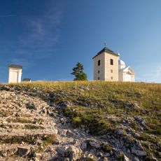
Stations of the Cross
4.7 km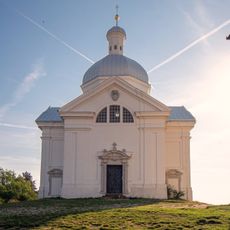
Chapel of Saint Sebastian in Mikulov
4.6 km
Obora Bulhary
4.5 km
Kienberg
2.9 km
Studánkový vrch
2.6 km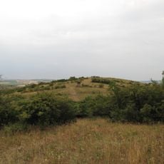
Liščí vrch
1.4 km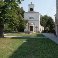
Church of Saint Bartholomew in Hlohovec (Břeclav District)
5.2 km
Kamenice u Hlohovce
3.9 km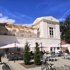
Hraniční zámeček
4.7 km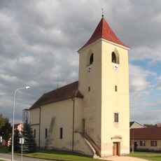
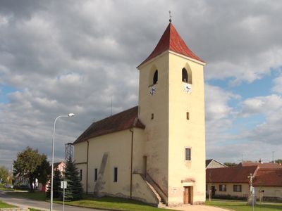
Church of Saint Vitus (Sedlec)
319 m
Mikulovská alej
3 km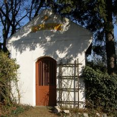
Marienkapelle
3.5 km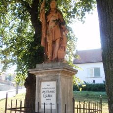
Socha svatého Floriána
5.1 km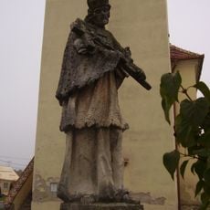
Socha svatého Jana Nepomuckého
1.3 km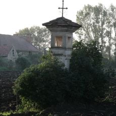
Boží muka
6.5 km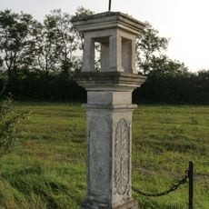
Boží muka
4.2 km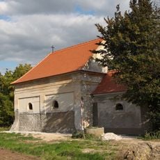
Chapel of Saints Cyril and Methodius
5.8 km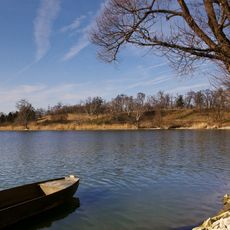
Lednické rybníky
2.2 km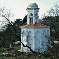
Chapel of the Holy Sepulchre
4.6 km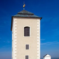
Bell tower at Svatý kopeček
4.7 km
Svatý kopeček u Mikulova
4.6 kmVisited this place? Tap the stars to rate it and share your experience / photos with the community! Try now! You can cancel it anytime.
Discover hidden gems everywhere you go!
From secret cafés to breathtaking viewpoints, skip the crowded tourist spots and find places that match your style. Our app makes it easy with voice search, smart filtering, route optimization, and insider tips from travelers worldwide. Download now for the complete mobile experience.

A unique approach to discovering new places❞
— Le Figaro
All the places worth exploring❞
— France Info
A tailor-made excursion in just a few clicks❞
— 20 Minutes