Brdská oblast, Geomorphological region in Central Bohemia, Czech Republic.
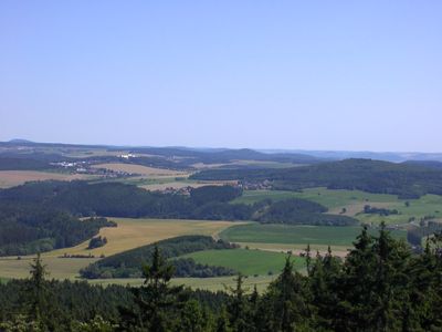
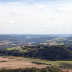
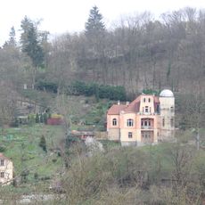
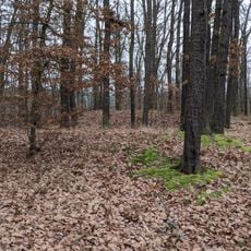
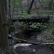
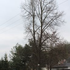
Brdská oblast is a geomorphological region in Central Bohemia featuring diverse landscapes from rolling plateaus to deep valleys and steep ravines. The terrain includes forested areas, limestone hills, and water sources carved by river systems throughout the landscape.
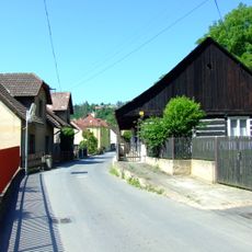
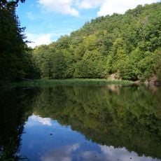
The region maintained low population density for centuries due to challenging terrain, allowing forests and geological formations to remain largely untouched. This isolated setting protected the natural landscapes from intensive human development throughout history.
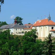
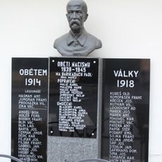
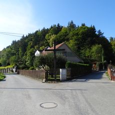
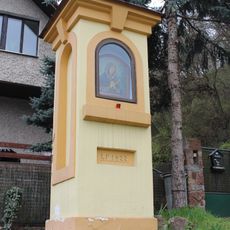
Local communities in the Brdská oblast maintain traditional practices shaped by generations of living in relative isolation among the forested highlands.
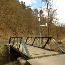
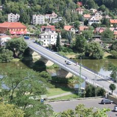
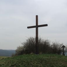
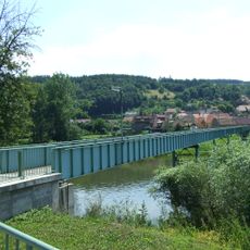
Visitors can reach the region through marked trails connected to nearby towns like Příbram, Beroun, and Hořovice. The terrain offers varying elevation levels requiring different fitness levels depending on your chosen route.
The area contains three protected landscapes with distinct geological features: Křivoklátsko with river bends, Český kras with karst formations, and Brdy with extensive forests. These showcase the remarkable diversity of geological history and ecological systems within the region.
Part of: Wyżyna Berounki
GPS coordinates: 50.00000,14.00000
Latest update: December 13, 2025 12:20
Oppidum Stradonice
863 m
Dřevíč Castle
2.6 km
Castle Nižbor
60 m
Fürstenberská hrobka v Nižboru
320 m
Footbridge of Ke Hřišti street in Nižbor
1.1 km
Crucifix in Stradonice
1.8 km
Boží muka v ulici V Hamburku v Nižboru
323 m
Chapel-shrine of Regina Mundi in Nižbor
409 m
Statue of John of Nepomuk in Nižbor
358 m
Statue of John of Nepomuk in Nižbor
298 m
Novohuťský most
259 m
Church of the Exaltation of the Holy Cross in Nižbor
31 m
Kostel sv. Liboria in Stradonice
1.5 km
World War I memorial in Stradonice
1.8 km
World wars memorial in Nižbor
147 m
Fürnstenberská hrobka
316 m
V Hamburku če. 100
180 m
Former Nižbor observatory
289 m
Hradiště Na Žlubinci
845 m
Most přes Vůznici pod Dřevíčem
2.8 km
Kříž na rozcestí ulic Ke Hřišti a V Kalné v Nižboru
915 m
Cross at Stradonice Oppidum
785 m
Column chapel-shrine in Nižbor
110 m
Footbridge over the Berounka in Stradonice
1.9 km
Lípa Svobody
197 m
Vůznice
2.7 km
Železniční most u Stradonic
2 km
Železniční most přes Žlubinecký potok a cestu
1.2 kmVisited this place? Tap the stars to rate it and share your experience / photos with the community! Try now! You can cancel it anytime.
Discover hidden gems everywhere you go!
From secret cafés to breathtaking viewpoints, skip the crowded tourist spots and find places that match your style. Our app makes it easy with voice search, smart filtering, route optimization, and insider tips from travelers worldwide. Download now for the complete mobile experience.
A unique approach to discovering new places❞
— Le Figaro
All the places worth exploring❞
— France Info
A tailor-made excursion in just a few clicks❞
— 20 Minutes