
Dolní Nětčice, village in Přerov District of Olomouc region
Location: Přerov District
Location: Lipník nad Bečvou (klein district)
Elevation above the sea: 277 m
Shares border with: Horní Nětčice, Týn nad Bečvou, Žákovice, Paršovice, Soběchleby
Email: obec@dolninetcice.cz
Website: http://dolninetcice.cz
GPS coordinates: 49.47618,17.67504
Latest update: April 23, 2025 20:09
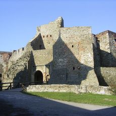
Helfštýn
5.8 km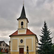
Church of the Exaltation of the Holy Cross
4.5 km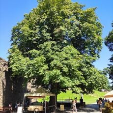
Jírovec na Helfštýně
5.8 km
Větrný mlýn
6.1 km
Lhotsko Castle
4 km
Bukoveček
5.6 km
Lesy u Bezuchova
6 km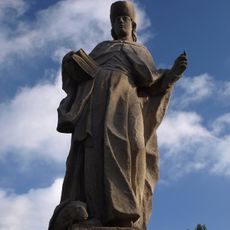
Socha svatého Vendelína
1.7 km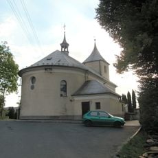
Church of the Assumption of the Virgin Mary
6.1 km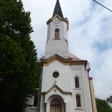
Church of Saints Cyril and Methodius
3.4 km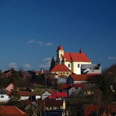
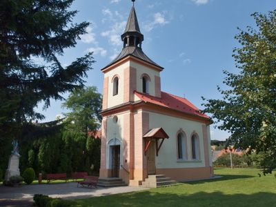
Church of the Assumption
1.7 km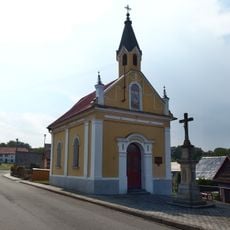
Chapel of Saint Anthony of Padua
949 m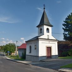
Chapel of Saint Anne
5.7 km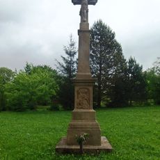
Zelený kříž
3.8 km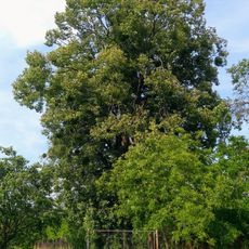
Lípa ve Vítonicích
3.6 km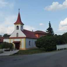
Chapel of Saint Anne
3.1 km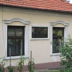
Pamětní deska Bedřicha Smetany na rodinném domě
6.1 km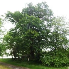
Dub v Oprostovicích
3.8 km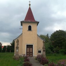
Chapel of the Visitation
5.3 km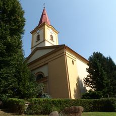
Church of Saint Margaret
3.7 km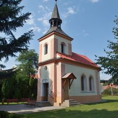
Chapel of the Visitation
163 m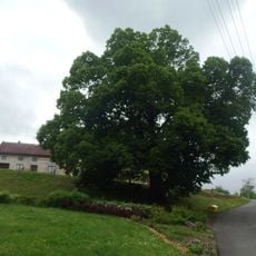
Lípa v Bezuchově
4.9 km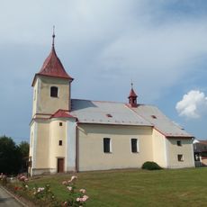
Church of the Nativity of the Virgin Mary
5.2 km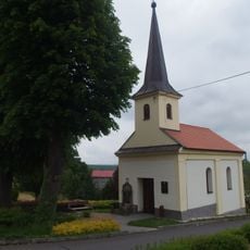
Chapel of Saint Florian
5 km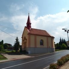
Chapel of Saint Maurice
5.3 km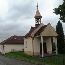
Chapel of Saint Wenceslaus
5.1 km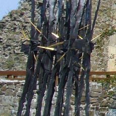
Kovové plastiky u příkopu před jádrem hradu Helfštýn
5.8 km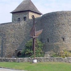
Kovová plastika Prométheovi před hradem Helfštýn
5.7 kmReviews
Visited this place? Tap the stars to rate it and share your experience / photos with the community! Try now! You can cancel it anytime.
Discover hidden gems everywhere you go!
From secret cafés to breathtaking viewpoints, skip the crowded tourist spots and find places that match your style. Our app makes it easy with voice search, smart filtering, route optimization, and insider tips from travelers worldwide. Download now for the complete mobile experience.

A unique approach to discovering new places❞
— Le Figaro
All the places worth exploring❞
— France Info
A tailor-made excursion in just a few clicks❞
— 20 Minutes