Enable Location

We need your location to show you interesting places around you

Discover nearby places

Find interesting locations and hidden gems around you

Precise directions

Get accurate directions and distances to places

Your location is never shared with other users. It's only used when you tap the location button.

Chotěboř

Log in to your account

Start exploring — it's free

Trusted by 63,312 travelers worldwide

Continue with Google
Continue with Apple
or

We will send you a code to connect

By continuing, you accept our Terms and Conditions and our Privacy Policy

Check your inbox

We've sent a pincode in your inbox. Please enter the code below.

Discussion Reviews 1 Photos
15.7k Popularity

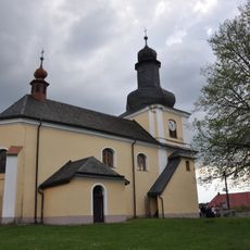
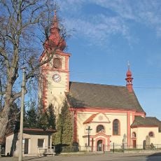
Chotěboř, Municipality with expanded powers in Havlíčkův Brod District, Czech Republic.

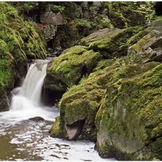
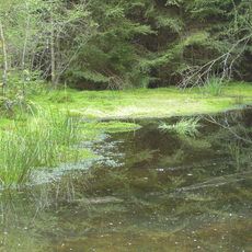
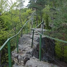
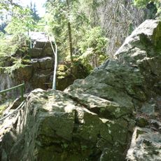
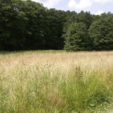
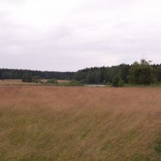
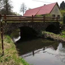
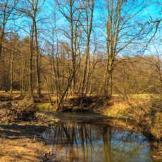
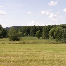
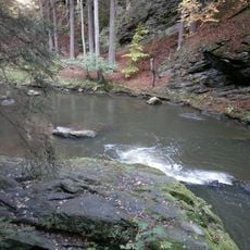
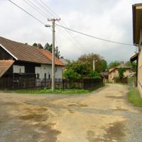
Chotěboř is a municipality with expanded powers in Havlíčkův Brod District situated in elevated terrain. The settlement occupies a position around 515 meters high near the Doubrava valley nature reserve, surrounded by the Iron Mountains protected landscape.

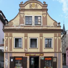
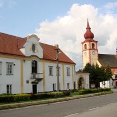
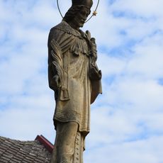
King John of Bohemia granted town status in 1331 because silver mining operations existed in the surrounding area. This economic foundation shaped development for generations to come.

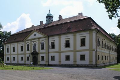
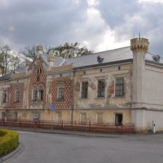
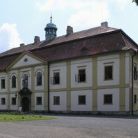
The local castle displays Italian architectural elements and was built as a residence for the noble Kinsky family. Visitors today can walk through rooms furnished with pieces and art collections spanning different periods.

An information center located at Krále Jana 258 assists visitors exploring the town and surrounding communities. This center serves as a helpful starting point for learning about the area and its nearby natural attractions.

The Baroque structure rose between 1701 and 1702 under Count Kinsky's patronage as an Italian-influenced residence. This connection to Italian design stands out in a region where such styles are uncommon.

The community of curious travelers

AroundUs brings together thousands of curated places, local tips, and hidden gems, enriched daily by 60,000 contributors worldwide.

Start exploring
Location
Elevation above the sea
515 m
Shares border with
Dolní Sokolovec, Slavětín, Uhelná Příbram, Rozsochatec, Sobíňov, Oudoleň, Nová Ves u Chotěboře, Jitkov, Jilem, Nejepín, Krucemburk, Libice nad Doubravou, Čachotín, Česká Bělá, Maleč
GPS coordinates
49.72077,15.67023
Latest update
December 7, 2025 19:29
Reviews
Share your experience

No review yet

Discussions
Start a discussion...

No discussion yet

« Chotěboř - Municipality with expanded powers in Havlíčkův Brod District, Czech Republic » is provided by Around Us (aroundus.com). Images and texts are derived from Wikimedia project under a Creative Commons license. You are allowed to copy, distribute, and modify copies of this page, under the conditions set by the license, as long as this note is clearly visible.

Discover hidden gems everywhere you go!

From secret cafés to breathtaking viewpoints, skip the crowded tourist spots and find places that match your style. Our app makes it easy with voice search, smart filtering, route optimization, and insider tips from travelers worldwide. Download now for the complete mobile experience.

Around Us App Screenshot

A unique approach to discovering new places

Le Figaro

All the places worth exploring

France Info

A tailor-made excursion in just a few clicks

20 Minutes

Around Us
Travel Guide & Maps
Download

Send to your phone

QR Code
1

Open the camera app on your mobile.

2

Point at the QR code with your camera. A notification will appear.

3

Tap the notification to open the link.