Přebuz, Mountain municipality in Sokolov District, Czech Republic.
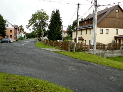
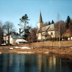
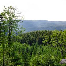
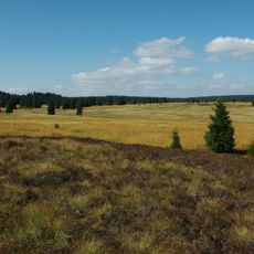
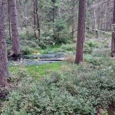
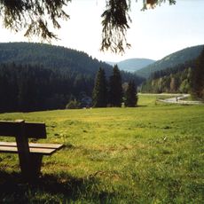
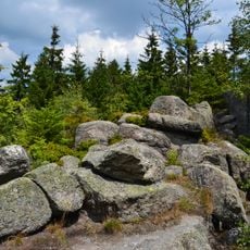
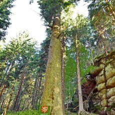
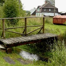
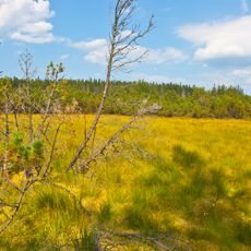
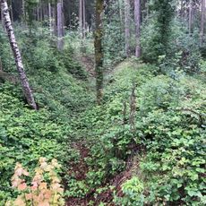
Přebuz is a mountain municipality at 886 meters elevation in the Ore Mountains near the German border. The settlement sits at the source of the Rolava River, which flows from this elevated terrain through the surrounding landscape.
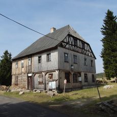
Přebuz was first documented in 1542, and gained mining town rights in 1553 due to tin ore deposits in the region. These early privileges shaped the community's role in the local economy and landscape development.
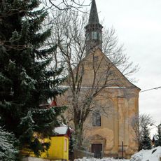
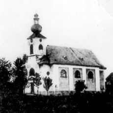
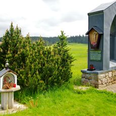
The Church of Saint Bartholomew blends Gothic forms from the 14th century with Baroque reworking from around 1775. The building reflects the community's commitment to preserving its religious landmark through different artistic periods.
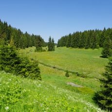
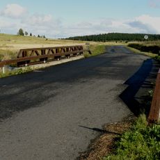
The high elevation brings cold winters with snow, so visitors should plan for winter conditions if traveling in that season. The remote mountain setting and proximity to the border make this a quiet destination suited for those seeking elevated terrain and natural surroundings.
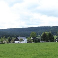
With just 76 residents as of 2024, this place holds the distinction of being the least populated municipality with town status in the Czech Republic. This extraordinarily small population makes it one of the quietest and most isolated mountain settlements in the country.
Location: Sokolov District
Location: správní obvod obce s rozšířenou působností Kraslice
Elevation above the sea: 886 m
Shares border with: Eibenstock, Nové Hamry, Vysoká Pec, Stříbrná, Šindelová, Muldenhammer
Email: urad@prebuz.cz
Website: http://prebuz.cz
GPS coordinates: 50.36590,12.62013
Latest update: December 7, 2025 20:46
Talsperre Carlsfeld
6.2 km
Großer Kranichsee
5.8 km
Rudenská luční prameniště
4.5 km
Church of the Visitation of Our Lady
4.9 km
Přírodní park Přebuz
1.2 km
Spitzberg
3.7 km
Church of Saint Bartholomew in Přebuz
102 m
Přebuzské vřesoviště
1.8 km
Kleiner Kranichsee, Butterwegmoor und Henneberger Hang
7.1 km
Rašeliniště Haar (natural monument)
3.3 km
Scheffelsberg
6.7 km
Rehhübel
7.4 km
Přebuzská hornatina
2.7 km
St. Antonius von Padua
4.9 km
Jedle pod skálou v Nancy
4.3 km
Vysoký smrk v Nancy
4.6 km
Nový Nancin smrk
4.6 km
Klen Na konci světa
4.6 km
Jedle pod Špičákem
3.6 km
Bývalá lávka přes Rotavu v Přebuzi u kontejnerů
87 m
Kleiner Kranichsee
6.9 km
Památník bývalého kostela v Jelení
4.9 km
Památník obětem zajateckého tábora Sauersack
2.7 km
Homestead Nr.46 Přebuz
377 m
Frühbußer Straße
5.8 km
Gasthaus Talsperre Carlsfeld
7.4 km
Bridge of road III/21012 over the Rolava
2 km
Most silnice III/21012 přes Rolavu
2.7 kmVisited this place? Tap the stars to rate it and share your experience / photos with the community! Try now! You can cancel it anytime.
Discover hidden gems everywhere you go!
From secret cafés to breathtaking viewpoints, skip the crowded tourist spots and find places that match your style. Our app makes it easy with voice search, smart filtering, route optimization, and insider tips from travelers worldwide. Download now for the complete mobile experience.
A unique approach to discovering new places❞
— Le Figaro
All the places worth exploring❞
— France Info
A tailor-made excursion in just a few clicks❞
— 20 Minutes