Enable Location

We need your location to show you interesting places around you

Discover nearby places

Find interesting locations and hidden gems around you

Precise directions

Get accurate directions and distances to places

Your location is never shared with other users. It's only used when you tap the location button.

Zábřeh

Log in to your account

Start exploring — it's free

Trusted by 61,692 travelers worldwide

Continue with Google
Continue with Apple
or

We will send you a code to connect

By continuing, you accept our Terms and Conditions and our Privacy Policy

Check your inbox

We've sent a pincode in your inbox. Please enter the code below.

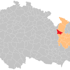
Zábřeh, Administrative center in Šumperk District, Czech Republic

Description

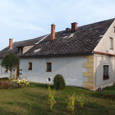
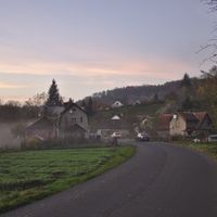
Zábřeh is a town in Šumperk District situated at 285 meters elevation, encompassing smaller communities such as Dolní Bušínov, Hněvkov, Pivonín, and Václavov. Historic structures including a Renaissance-style house and a notable church form the core of its built environment.

History

The settlement received its first written record in 1254 as a protective ford area, and achieved town status by 1278 under noble rule. This early foundation reflects the location's strategic importance in the region's development.

Culture

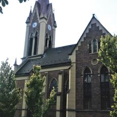
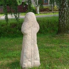
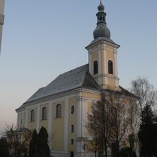
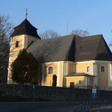
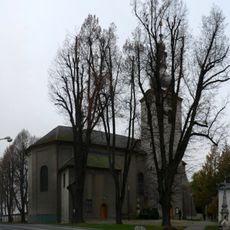
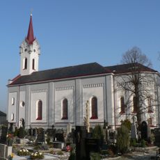
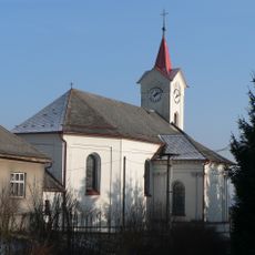
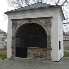
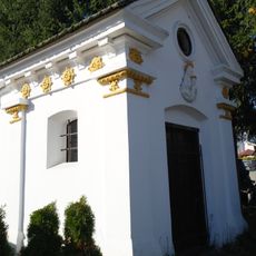
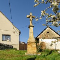
The Church of Saint Bartholomew stands as a spiritual center where locals and visitors gather for religious observances and community events. The House Under The Arcades hosts the town museum, allowing people to see how everyday architecture preserves stories of the past.

Practical

The municipality functions as one of three administrative centers with extended authority in the region, handling governmental operations for surrounding communities. Visitors can explore the town on foot and access local services at the civic buildings.

Did you know?

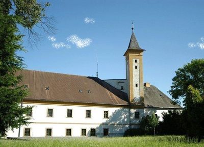
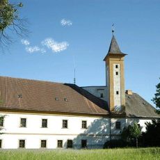
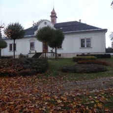
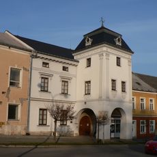
The former castle was transformed from a Gothic fortress over centuries into the current municipal office, showing how medieval structures adapt to modern needs. This conversion allows visitors to see the continuity between medieval architecture and its present-day use.

Elevation above the sea
285 m
Shares border with
Leština, Lesnice, Kosov, Jedlí, Hynčina, Jestřebí, Postřelmov, Rájec, Drozdov, Krchleby, Nemile, Rovensko, Svébohov
GPS coordinates
49.88262,16.87228
Latest update
December 7, 2025 19:23

AroundUs brings together thousands of curated places, local tips, and hidden gems, enriched daily by 60,000 contributors worldwide. Discover all places nearby (Šumperk District).

« Zábřeh - Administrative center in Šumperk District, Czech Republic » is provided by Around Us (aroundus.com). Images and texts are derived from Wikimedia project under a Creative Commons license. You are allowed to copy, distribute, and modify copies of this page, under the conditions set by the license, as long as this note is clearly visible.

Discover hidden gems everywhere you go!

From secret cafés to breathtaking viewpoints, skip the crowded tourist spots and find places that match your style. Our app makes it easy with voice search, smart filtering, route optimization, and insider tips from travelers worldwide. Download now for the complete mobile experience.

Around Us App Screenshot

A unique approach to discovering new places

Le Figaro

All the places worth exploring

France Info

A tailor-made excursion in just a few clicks

20 Minutes

Around Us
Travel Guide & Maps
Download

Send to your phone

QR Code
1

Open the camera app on your mobile.

2

Point at the QR code with your camera. A notification will appear.

3

Tap the notification to open the link.