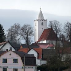
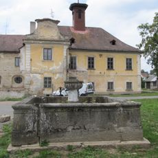
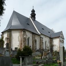
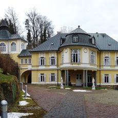
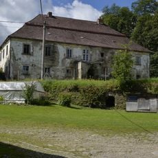
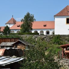
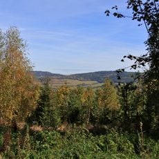
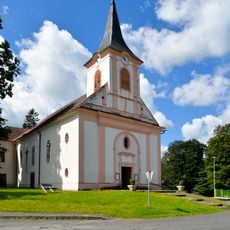
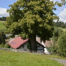
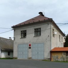
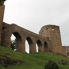
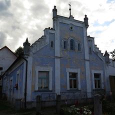
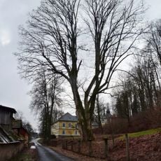
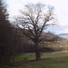
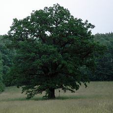
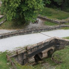
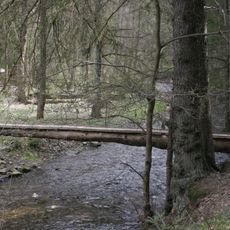
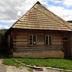
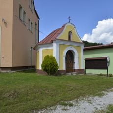
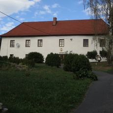
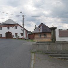
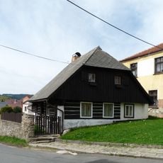
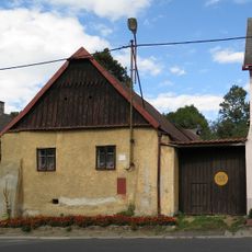
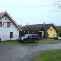
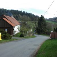
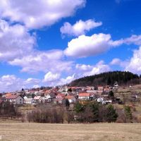
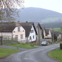
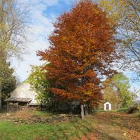
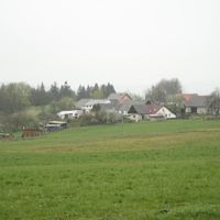
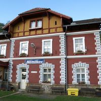
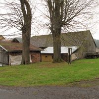
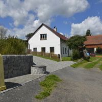
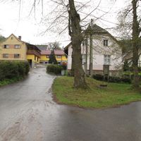
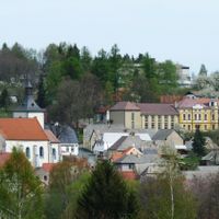
Velhartice, village in Klatovy District of Plzeň region
Location: Klatovy District
Location: správní obvod obce s rozšířenou působností Sušice
Elevation above the sea: 622 m
Shares border with: Hlavňovice, Kolinec, Mokrosuky, Petrovice u Sušice, Běšiny, Čachrov
Email: obec.velhartice@quick.cz
Website: http://velhartice.cz
GPS coordinates: 49.26529,13.38977
Latest update: March 4, 2025 14:55
Castle Velhartice
756 m
Church of the Nativity of the Virgin Mary
155 m
Church of the Name of the Virgin Mary
3.4 km
Church of Saints Peter and Paul
6.5 km
Nemilkov Castle
2 km
Church of Saint Mary Magdalene
785 m
Kněžice Castle
6 km
Hlavňovice Castle
3.3 km
Ujčín
3 km
Borek u Velhartic
1.1 km
Jewish cemetery in Velhartice
1.1 km
Kochánov
4.3 km
Saint John of Nepomuk church in Hlavňovice
3 km
Tilia cordata Chalupských
5.2 km
Synagogue in Velhartice
87 m
Velký most na hradě Velhartice
700 m
Flossmanův mlýn
3.1 km
Kněžický klen
6 km
Nemilkovský dub
3.2 km
Chrástovský dub
3.2 km
Most cesty na nádvoří hradu Velhartice
712 m
Lávka přes Ostružnou pod hradem Velhratice
868 m
Dům čp. 101
204 m
Saint Adalbert chapel in Hlavňovice
2.9 km
Fara
218 m
Dům čp. 102
224 m
Usedlost čp. 52
84 m
Usedlost čp. 11
197 mReviews
Visited this place? Tap the stars to rate it and share your experience / photos with the community! Try now! You can cancel it anytime.
Discover hidden gems everywhere you go!
From secret cafés to breathtaking viewpoints, skip the crowded tourist spots and find places that match your style. Our app makes it easy with voice search, smart filtering, route optimization, and insider tips from travelers worldwide. Download now for the complete mobile experience.
A unique approach to discovering new places❞
— Le Figaro
All the places worth exploring❞
— France Info
A tailor-made excursion in just a few clicks❞
— 20 Minutes