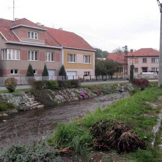
Bílý potok, Brook in Kraj Vysočina, Czech Republic
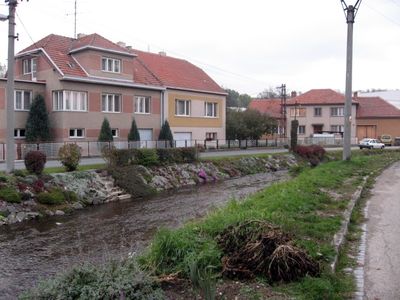
Bílý potok is a right tributary of the Svratka, 33.9 km long with a 114.0 km² catchment. It rises at 605 m near Skřinářov, flows past Vlkov and Osová through several ponds, joins the Bítýška at Křoví, then runs in meanders through a deep wooded valley below Šmelcovna before entering the Svratka at Veverská Bítýška, 235 m.
The lower course was called Bítýška until the 1970s, a name still used on maps from 1967 and 1977 and echoed by the town Veverská Bítýška at the mouth. Jarošův mlýn in Veverská Bítýška is a surviving mill on the stream.
The lower course was called Bítýška until the 1970s, and maps from 1967 and 1977 still use that name; the town Veverská Bítýška downstream keeps the older name alive. The valley from Spálený mlýn through Šmelcovna to Veverská Bítýška is a natural park and a popular recreation area, with a cycle path linking it to the Brno reservoir.
The brook rises 2 km north of Skřinářov at 605 m and joins the Svratka at Veverská Bítýška at 235 m; the marked cycling trail through the valley links to the Brno reservoir and Podkomorské lesy. Upstream near Skřinářov and Osová the course is held in ponds such as Holinkovský rybník, Okolník and Štěpnice.
The brook is also called Bítýška on its lower course, a name still used on maps from 1967 and 1977. The nearby town of Veverská Bítýška carries that name, evidence of the stream's former designation.
The community of curious travelers
AroundUs brings together thousands of curated places, local tips, and hidden gems, enriched daily by 92,526 contributors worldwide.