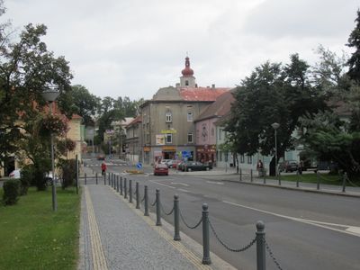
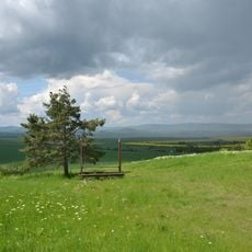
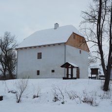
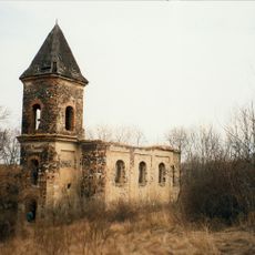
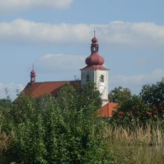
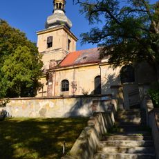
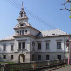
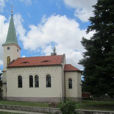
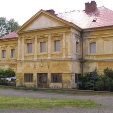
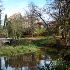
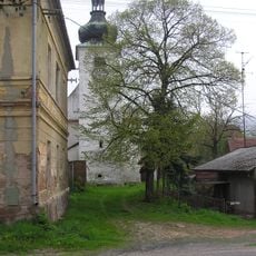
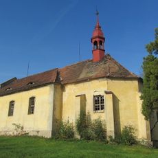
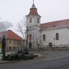
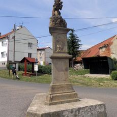
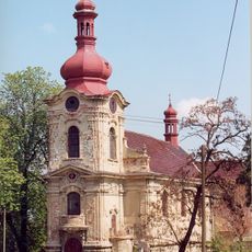
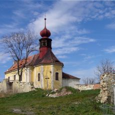
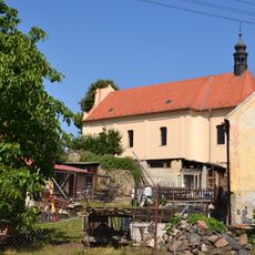
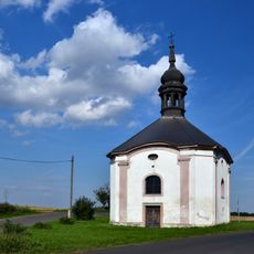
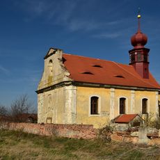
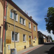
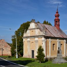
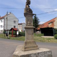
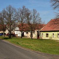
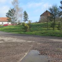
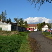
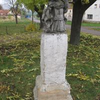
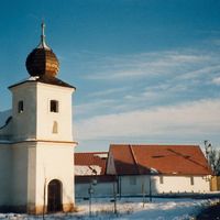
Podbořany, town in the Czech Republic
Location: Louny District
Location: správní obvod obce s rozšířenou působností Podbořany
Inception: July 1, 1973
Elevation above the sea: 331 m
Shares border with: Čeradice, Libořice, Nepomyšl, Krásný Dvůr, Očihov, Žatec, Vroutek, Blšany, Veliká Ves, Libědice, Nové Sedlo
Email: info@podborany.net
Website: http://podborany.net
GPS coordinates: 50.22947,13.41200
Latest update: March 4, 2025 03:08
Krásný Dvůr Castle
3.9 km
Rubín Podbořany
3.3 km
FK Chmel Blšany
4.2 km
Hlubany Castle
1.3 km
Church of Saint Michael
4.1 km
Church of Saints Peter and Paul
16 m
Church of the Divine Saviour
434 m
Church of the Nativity of the Virgin Mary
2.7 km
Veliká Ves Castle
5.2 km
Kostel Jména Panny Marie (Krásný Dvůr)
4.2 km
Chapel in Letov
2.3 km
Kaštice Castle
4.2 km
Římskokatolická farnost Buškovice
2.7 km
Jewish cemetery in Podbořany
2.1 km
Krásný Dvůr
4.4 km
Church of Saint Martin
5 km
Church of Saint Catherine in Kněžice
6.5 km
Church of Saint Michael in Blšany
4.4 km
Římskokatolická farnost Kněžice
6.5 km
Church of Saint Cross and All Saints in Pšov
4.2 km
Church of the Nativity of the Virgin Mary
5.7 km
Church of Saint James
5.2 km
Church of the Exaltation of the Holy Cross
6.1 km
Church of the Visitation of Our Lady
2.4 km
Chapel of Saint Anne
3.2 km
Římskokatolická farnost Mory
5.7 km
Synagogue in Podbořany
198 m
Římskokatolická farnost Široké Třebčice
6.1 kmReviews
Visited this place? Tap the stars to rate it and share your experience / photos with the community! Try now! You can cancel it anytime.
Discover hidden gems everywhere you go!
From secret cafés to breathtaking viewpoints, skip the crowded tourist spots and find places that match your style. Our app makes it easy with voice search, smart filtering, route optimization, and insider tips from travelers worldwide. Download now for the complete mobile experience.
A unique approach to discovering new places❞
— Le Figaro
All the places worth exploring❞
— France Info
A tailor-made excursion in just a few clicks❞
— 20 Minutes