Enable Location

We need your location to show you interesting places around you

Discover nearby places

Find interesting locations and hidden gems around you

Precise directions

Get accurate directions and distances to places

Your location is never shared with other users. It's only used when you tap the location button.

Studénka

Log in to your account

Start exploring — it's free

Trusted by 63,529 travelers worldwide

Continue with Google
Continue with Apple
or

We will send you a code to connect

By continuing, you accept our Terms and Conditions and our Privacy Policy

Check your inbox

We've sent a pincode in your inbox. Please enter the code below.

Discussion Reviews 1 Photos
10.6k Popularity

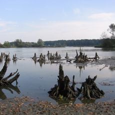
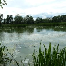
Studénka, Administrative municipality in Nový Jičín District, Czech Republic

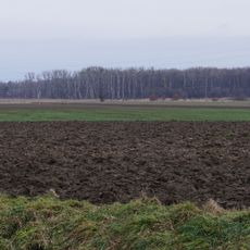
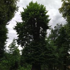
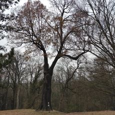
Studénka is a town in Nový Jičín District that spans both sides of the historical boundary between Moravia and Czech Silesia. It sits at an elevation of around 239 meters and is crossed by a major international railway route.

The town developed after railway construction in the 1880s, when lines connected it to Štramberk and Bílovec. The establishment of a railway car factory in 1900 shaped its industrial growth and character.

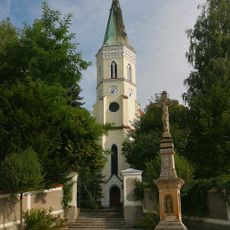
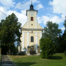
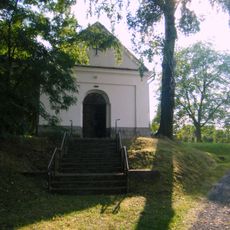
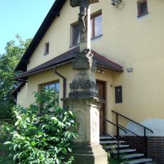
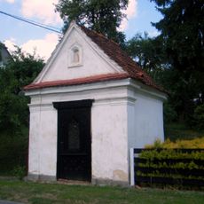
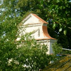
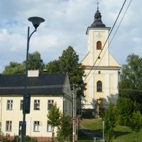
The neo-Gothic Church of Saint Bartholomew, constructed in 1880, stands as the main religious building, replacing a wooden structure from the 16th century.

The town sits on the international railway line between Kraków and Prague, offering good access for travelers. Proximity to the D1 motorway provides additional connections northward.

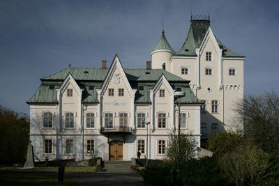
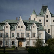
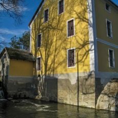
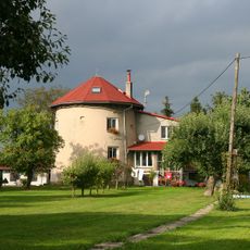
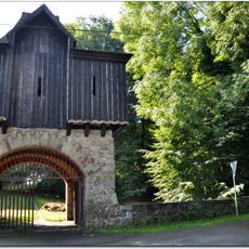
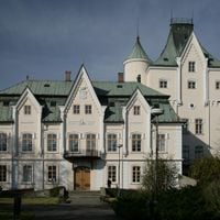
The town features a castle with two distinct construction phases: the older structure dates from 1705, while a second was built in 1750. A connecting tower erected between 1860 and 1863 joins both parts into a unified complex.

The community of curious travelers

AroundUs brings together thousands of curated places, local tips, and hidden gems, enriched daily by 60,000 contributors worldwide.

Start exploring
Elevation above the sea
239 m
Shares border with
Petřvald, Pustějov, Bartošovice, Albrechtičky, Jistebník, Bílov, Bravantice, Velké Albrechtice, Mošnov
GPS coordinates
49.72341,18.07857
Latest update
December 10, 2025 15:53
Reviews
Share your experience

No review yet

Discussions
Start a discussion...

No discussion yet

« Studénka - Administrative municipality in Nový Jičín District, Czech Republic » is provided by Around Us (aroundus.com). Images and texts are derived from Wikimedia project under a Creative Commons license. You are allowed to copy, distribute, and modify copies of this page, under the conditions set by the license, as long as this note is clearly visible.

Discover hidden gems everywhere you go!

From secret cafés to breathtaking viewpoints, skip the crowded tourist spots and find places that match your style. Our app makes it easy with voice search, smart filtering, route optimization, and insider tips from travelers worldwide. Download now for the complete mobile experience.

Around Us App Screenshot

A unique approach to discovering new places

Le Figaro

All the places worth exploring

France Info

A tailor-made excursion in just a few clicks

20 Minutes

Around Us
Travel Guide & Maps
Download

Send to your phone

QR Code
1

Open the camera app on your mobile.

2

Point at the QR code with your camera. A notification will appear.

3

Tap the notification to open the link.