Enable Location

We need your location to show you interesting places around you

Discover nearby places

Find interesting locations and hidden gems around you

Precise directions

Get accurate directions and distances to places

Your location is never shared with other users. It's only used when you tap the location button.

Přeštice

Log in to your account

Start exploring — it's free

Trusted by 62,476 travelers worldwide

Continue with Google
Continue with Apple
or

We will send you a code to connect

By continuing, you accept our Terms and Conditions and our Privacy Policy

Check your inbox

We've sent a pincode in your inbox. Please enter the code below.

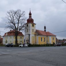
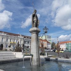
Přeštice, Municipal center in Plzeň-South District, Czech Republic

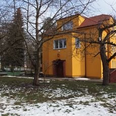
Přeštice is an administrative center in Plzeň-South District situated south of the city of Plzeň at approximately 345 meters elevation. The municipality encompasses several neighboring villages and serves as a local administrative hub for the region.

The settlement was first documented in 1226 as a market village and came under the control of Kladruby monastery in 1239. Over centuries it developed into an important local center under various rulers.

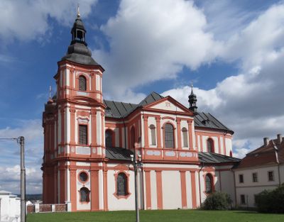
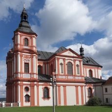
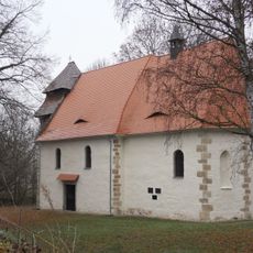
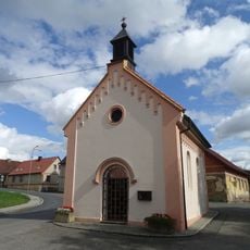
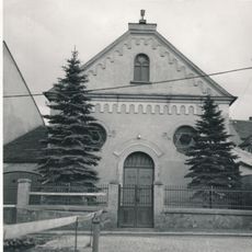
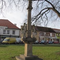
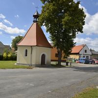
The Church of the Assumption of the Virgin Mary, built between 1750 and 1775, shapes the town's appearance with its Baroque architecture. This building reflects the religious importance the place held for the surrounding villages.

The town is best explored on foot since the main attractions and administrative center are concentrated in the center. Train arrival is possible as the railway line to Klatovy stops here.

The railway line to Klatovy was built in 1874 and suddenly made the town an important transportation hub. This new connection made it easier for people to reach surrounding villages and changed the economic life of the market town.

The community of curious travelers

AroundUs brings together thousands of curated places, local tips, and hidden gems, enriched daily by 60,000 contributors worldwide.

Start exploring
Elevation above the sea
345 m
Shares border with
Lužany, Příchovice, Horní Lukavice, Oplot, Dolní Lukavice, Dnešice, Soběkury, Řenče
GPS coordinates
49.57308,13.33354
Latest update
December 7, 2025 20:49
« Přeštice - Municipal center in Plzeň-South District, Czech Republic » is provided by Around Us (aroundus.com). Images and texts are derived from Wikimedia project under a Creative Commons license. You are allowed to copy, distribute, and modify copies of this page, under the conditions set by the license, as long as this note is clearly visible.

Discover hidden gems everywhere you go!

From secret cafés to breathtaking viewpoints, skip the crowded tourist spots and find places that match your style. Our app makes it easy with voice search, smart filtering, route optimization, and insider tips from travelers worldwide. Download now for the complete mobile experience.

Around Us App Screenshot

A unique approach to discovering new places

Le Figaro

All the places worth exploring

France Info

A tailor-made excursion in just a few clicks

20 Minutes

Around Us
Travel Guide & Maps
Download

Send to your phone

QR Code
1

Open the camera app on your mobile.

2

Point at the QR code with your camera. A notification will appear.

3

Tap the notification to open the link.