Doksy

Log in to your account

AroundUs is a community-driven map of interesting places, built by curious explorers like you. It grows with every review, story, and photo you share.
Connect to save your favorite spots, contribute locations, and create personalized routes.
Continue with Google
Continue with Apple
Continue with X
Continue with Facebook
Continue with email
By continuing, you accept our Terms and Conditions and our Privacy Policy
Create an account
Add to collection
Map
Suggest a change
Share

Doksy, Municipal town in Česká Lípa District, Czech Republic

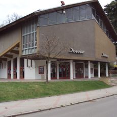
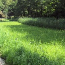
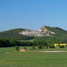
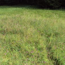
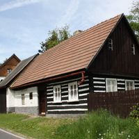
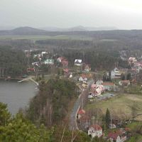
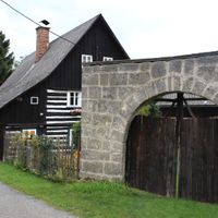
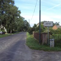
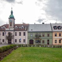
Doksy is a municipal town in the Ralsko Uplands located at 266 meters above sea level, comprising seven communities including Břehyně, Kruh, and Staré Splavy. The settlement spreads across rolling terrain with distinct residential areas and surrounding countryside.

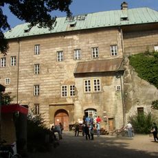
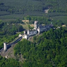
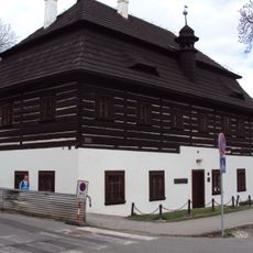
King Ottokar II established the settlement around 1264 near Bezděz Castle, with its first documented mention appearing in 1293. This royal foundation set the stage for the town to develop into a significant local center.

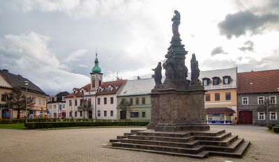
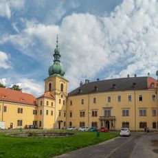
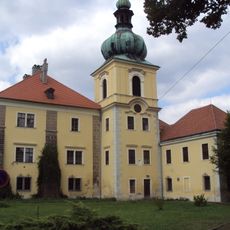
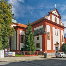
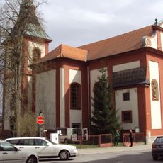
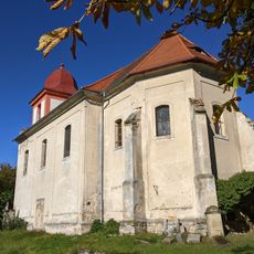
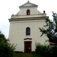
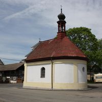
The Church of Saint Bartholomew and the Assumption of the Virgin Mary shapes the town center with its baroque design layered over older gothic sections. The building remains central to local life and celebrations, connecting residents to their shared past.

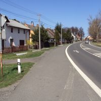
The road network connects the town via the I/38 route linking Mladá Boleslav with Česká Lípa, while a railway line from Kolín to Rumburk runs through the area. These transport links make arrival straightforward whether coming from the region or from neighboring larger cities.

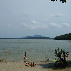
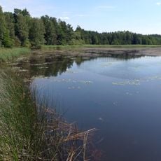
Emperor Charles IV created a large pond in 1367 that transformed the settlement into a popular retreat, eventually leading to the construction of a beach in 1928. This man-made lake still draws visitors today and shows how early infrastructure projects shaped the town's development.

Location: Česká Lípa District

Location: správní obvod obce s rozšířenou působností Česká Lípa

Elevation above the sea: 266 m

Shares border with: Okna, Ralsko, Bělá pod Bezdězem, Provodín, Jestřebí, Chlum, Bezděz, Blatce, Dubá, Skalka u Doks, Luka, Březovice, Nosálov, Tachov

Email: urad@doksy.com

Website: http://mesto-doksy.cz

GPS coordinates: 50.56478,14.65562

Latest update: December 7, 2025 20:25

Photos
Reviews

Visited this place? Tap the stars to rate it and share your experience / photos with the community! Try now! You can cancel it anytime.

« Doksy - Municipal town in Česká Lípa District, Czech Republic » is provided by Around Us (aroundus.com). Images and texts are derived from Wikimedia project under a Creative Commons license. You are allowed to copy, distribute, and modify copies of this page, under the conditions set by the license, as long as this note is clearly visible.

Discover hidden gems everywhere you go!

From secret cafés to breathtaking viewpoints, skip the crowded tourist spots and find places that match your style. Our app makes it easy with voice search, smart filtering, route optimization, and insider tips from travelers worldwide. Download now for the complete mobile experience.

Around Us App Screenshot

A unique approach to discovering new places

Le Figaro

All the places worth exploring

France Info

A tailor-made excursion in just a few clicks

20 Minutes