Enable Location

We need your location to show you interesting places around you

Discover nearby places

Find interesting locations and hidden gems around you

Precise directions

Get accurate directions and distances to places

Your location is never shared with other users. It's only used when you tap the location button.

Břežanské údolí

Log in to your account

Start exploring — it's free

Trusted by 61,441 travelers worldwide

Continue with Google
Continue with Apple
or

We will send you a code to connect

By continuing, you accept our Terms and Conditions and our Privacy Policy

Check your inbox

We've sent a pincode in your inbox. Please enter the code below.

Břežanské údolí

Břežanské údolí, Special Area of Conservation in Dolní Břežany, Czech Republic.

Description

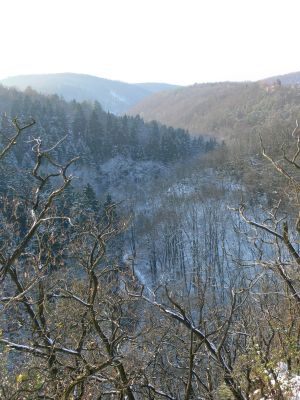
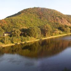
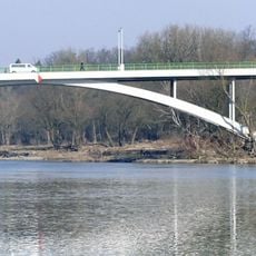
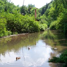
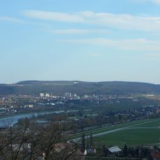
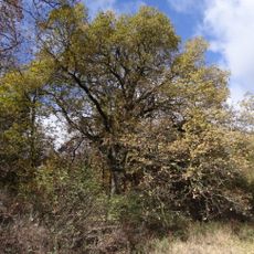
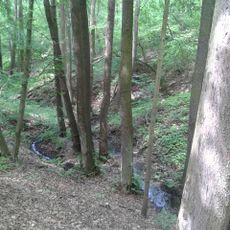
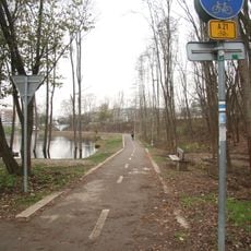
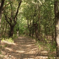
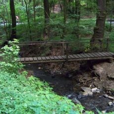
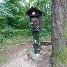
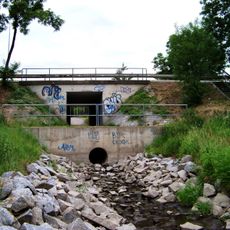
Břežanské údolí is a protected valley extending along the Břežanský stream between Dolní Břežany and Zbraslav with a network of walking and cycling paths. The area features natural vegetation and water features that define its character as a recreational landscape.

History

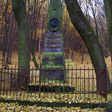
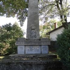
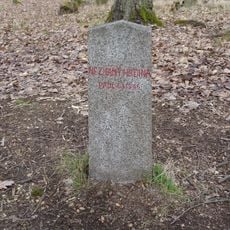
Remains of human settlement in the valley date back to the Neolithic period, with the nearby Celtic settlement of Závist providing evidence of ancient occupation. These archaeological traces show the area has been inhabited across different historical periods.

Culture

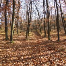
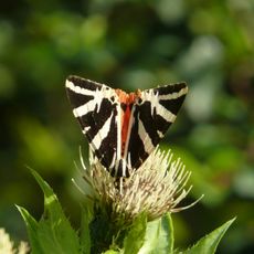
Local people use this valley as a space for outdoor recreation, walking and cycling through marked trails that wind through the protected landscape. The area balances visitors with the protection of plants and animals that live here.

Practical

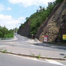
Visitors can explore the valley along established pathways, though you should be prepared for occasional closures or maintenance work that may limit access. Neighboring communities offer alternative routes if the main paths are restricted.

Did you know?

The area successfully blends nature conservation with recreational use, creating spaces where wildlife habitats are protected while visitors can still enjoy the landscape. This balance demonstrates how protected areas can serve both ecological and human needs simultaneously.

Location
GPS coordinates
49.96544,14.41443
Latest update
December 14, 2025 17:03

AroundUs brings together thousands of curated places, local tips, and hidden gems, enriched daily by 60,000 contributors worldwide. Discover all places nearby (Dolní Břežany).

Around this place
Oppidum Závist
Czech Republic

Oppidum Závist

580 m
Rozhledna Závist
Czech Republic

Rozhledna Závist

562 m
Šance
Czech Republic

Šance

687 m
Most Závodu míru
Czech Republic

Most Závodu míru

1.4 km
Zookoutek Břežanské údolí
Czech Republic

Zookoutek Břežanské údolí

828 m
Čihadlo
Czech Republic

Čihadlo

1.3 km
Břežanské údolí (natural monument)
Czech Republic

Břežanské údolí (natural monument)

791 m
Dub severně ulice Branišovské v Točné
Czech Republic

Dub severně ulice Branišovské v Točné

1.2 km
U Závisti
Czech Republic

U Závisti

1.3 km
Točenský potok
Czech Republic

Točenský potok

1.4 km
Tourist footpath nr. 1013
Czech Republic

Tourist footpath nr. 1013

1.3 km
Vítězslav Hálek memorial
Czech Republic

Vítězslav Hálek memorial

464 m
Břeková alej na Závisti
Czech Republic

Břeková alej na Závisti

799 m
Pomník Františka Matouška v Točné
Czech Republic

Pomník Františka Matouška v Točné

1.5 km
World wars memorial in Točná
Czech Republic

World wars memorial in Točná

1.4 km
Zbraslavský most
Czech Republic

Zbraslavský most

1.4 km
Lávka k voliérám v břežanském zookoutku
Czech Republic

Lávka k voliérám v břežanském zookoutku

713 m
Bell tower
Czech Republic

Bell tower

1.5 km
Pamětní deska a lípa Karla Pecha v Točné
Czech Republic

Pamětní deska a lípa Karla Pecha v Točné

981 m
Obrázek Panny Marie nad Břežanským údolím
Czech Republic

Obrázek Panny Marie nad Břežanským údolím

711 m
Pomník neznámému padlému v květnu 1945 v lese Šance u Komořan
Czech Republic

Pomník neznámému padlému v květnu 1945 v lese Šance u Komořan

1.4 km
Zvonička na náměstí Antonína Pecáka v Točné
Czech Republic

Zvonička na náměstí Antonína Pecáka v Točné

1.5 km
Kříž na náměstí Antonína Pecáka v Točné
Czech Republic

Kříž na náměstí Antonína Pecáka v Točné

1.5 km
Pechova lípa
Czech Republic

Pechova lípa

981 m
Bridge of K přehradám street over the Záběhlický potok
Czech Republic

Bridge of K přehradám street over the Záběhlický potok

1.3 km
Wayside cross in Točná
Czech Republic

Wayside cross in Točná

1.3 km
Wayside cross at náměstí Antonína Pecáka
Czech Republic

Wayside cross at náměstí Antonína Pecáka

1.5 km
Most Závodu míru - úsek přes železniční trať
Czech Republic

Most Závodu míru - úsek přes železniční trať

1.3 km
Show the full map
« Břežanské údolí - Special Area of Conservation in Dolní Břežany, Czech Republic » is provided by Around Us (aroundus.com). Images and texts are derived from Wikimedia project under a Creative Commons license. You are allowed to copy, distribute, and modify copies of this page, under the conditions set by the license, as long as this note is clearly visible.

Discover hidden gems everywhere you go!

From secret cafés to breathtaking viewpoints, skip the crowded tourist spots and find places that match your style. Our app makes it easy with voice search, smart filtering, route optimization, and insider tips from travelers worldwide. Download now for the complete mobile experience.

Around Us App Screenshot

A unique approach to discovering new places

Le Figaro

All the places worth exploring

France Info

A tailor-made excursion in just a few clicks

20 Minutes

Around Us
Travel Guide & Maps
Download

Send to your phone

QR Code
1

Open the camera app on your mobile.

2

Point at the QR code with your camera. A notification will appear.

3

Tap the notification to open the link.