
Blahotice, part of Slaný
Location: Slaný
Elevation above the sea: 248 m
GPS coordinates: 50.23780,14.12140
Latest update: March 17, 2025 08:22
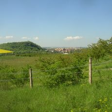
Slánská hora
2 km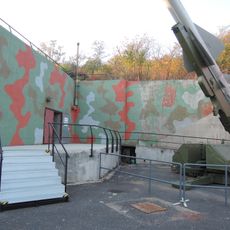
Bunker Drnov - Cold War and Air Defence Museum
2.9 km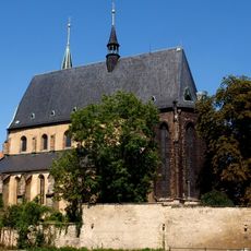
Church of Saint Gotthard (Slaný)
2.4 km
Monastery in Slaný
2.4 km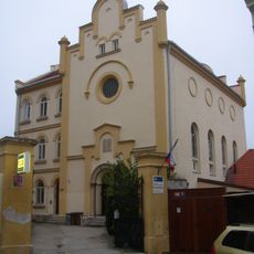
Synagogue in Slaný
2.4 km
Railway viaduct in Podlešín
3 km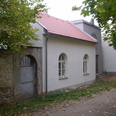
Jewish cemetery in Slaný
2 km
Blahotice Castle
103 m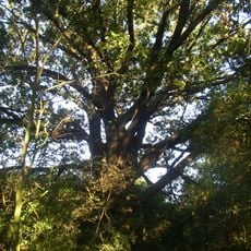
Dub na Zadních Lužích
748 m
U Brodu čp. 348
2.3 km
Church of Saint Lawrence
2.3 km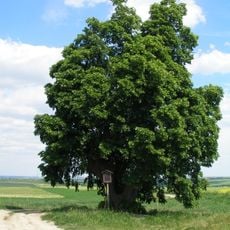
Lípa u Vítova
2.1 km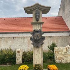
Monument to Saint Procopius in Žižice
2.5 km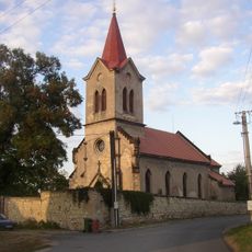
Church of Saints Simon and Jude in Dolín
1.7 km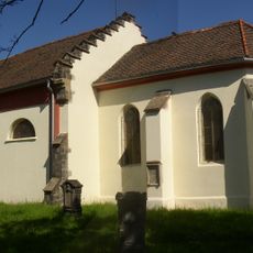
Church of Saint Wenceslaus
1 km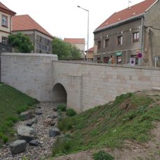
Bridge of Vinařického street over the moat in Slaný
2.4 km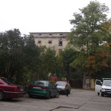
Sýpka
2.2 km
Pod Horou čp. 319
2.2 km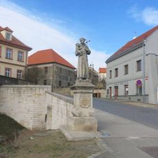
Socha svatého Antonína Paduánského v ulici Vinařického ve Slaném
2.4 km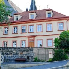
Vinařického čp. 15
2.4 km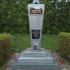
Pomník padlým rudoarmějcům na hřbitově ve Slaném
2.2 km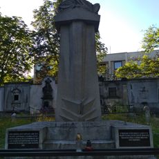
Pomník padlým v 1. světové válce
2.2 km
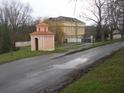
Chapel of Our Lady and Saint Christopher
44 m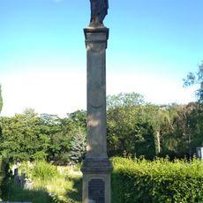
Mariánský sloup na hřbitově ve Slaném
2.1 km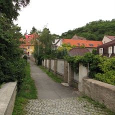
Most ulice Na Kopečku přes Červený potok ve Slaném
2.3 km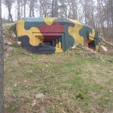
Objekt IX.b/43/A
1.5 km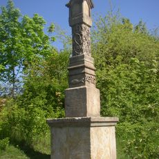
Wine-growers and fishermen column
1.8 km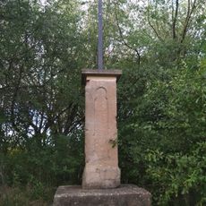
Kříž u polní cesty na severovýchodním okraji Slaného
1.5 kmReviews
Visited this place? Tap the stars to rate it and share your experience / photos with the community! Try now! You can cancel it anytime.
Discover hidden gems everywhere you go!
From secret cafés to breathtaking viewpoints, skip the crowded tourist spots and find places that match your style. Our app makes it easy with voice search, smart filtering, route optimization, and insider tips from travelers worldwide. Download now for the complete mobile experience.

A unique approach to discovering new places❞
— Le Figaro
All the places worth exploring❞
— France Info
A tailor-made excursion in just a few clicks❞
— 20 Minutes