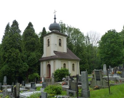
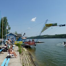
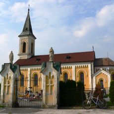
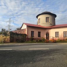
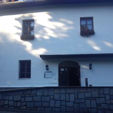
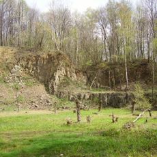
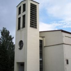
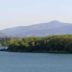
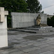
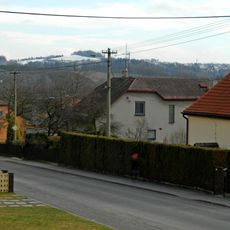
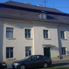
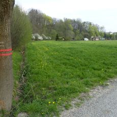
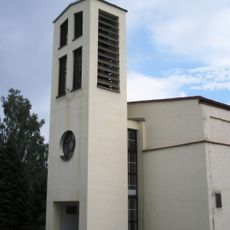
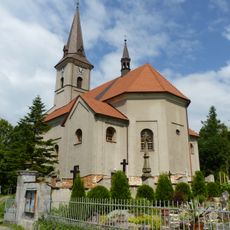
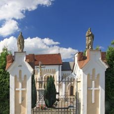
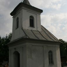
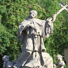
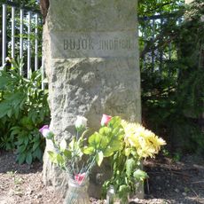
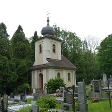
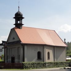
Horní Těrlicko, village in Karviná District of Moravian Silesian region
Location: Těrlicko
Elevation above the sea: 312 m
GPS coordinates: 49.75220,18.47440
Latest update: March 3, 2025 00:52
Těrlicko Reservoir
1.6 km
John of Nepomuk Statue in Horní Domaslavice
5.4 km
Church of Saint Lawrence
3.6 km
Church of the Visitation of the Virgin Mary in Soběšovice
2.4 km
Larischův letohrádek
3.4 km
Jaškovská hospoda
1.3 km
Žermanický lom
2.7 km
Lutheran church in Těrlicko
1 km
Church of Saint James the Greater
5.2 km
Žermanice Reservoir
3.8 km
Životice Tragedy Memorial
1.9 km
Тешинська височина
2 km
Castle in Horní Těrlicko
1.2 km
Stará řeka
2.7 km
Parafia św. Wawrzyńca w Cierlicku
3.6 km
Zbór Śląskiego Kościoła Ewangelickiego Augsburskiego Wyznania w Cierlicku
1 km
Parafia św. Jakuba Starszego w Domasłowicach Górnych
5.2 km
Statue of Saint Paul in Kostelec
3.6 km
Statue of Saint Matthias in Kostelec
3.6 km
Lutheran chapel in Životice
1.9 km
Sousoší svatého Jana Nepomuckého
1.2 km
Memorial to Jindřich Bujok
1.5 km
Sloup se sochou Panny Marie a sloup se sochou svatého Floriána
5.2 km
Kaple
1.9 km
Krucifix
4.4 km
Chapel of the Nativity of the Virgin Mary
3 km
Sloup se sochou Panny Marie v Horních Domaslavicích
5.2 km
Socha svatého Floriána v Horních Domaslavicích
5.2 kmReviews
Visited this place? Tap the stars to rate it and share your experience / photos with the community! Try now! You can cancel it anytime.
Discover hidden gems everywhere you go!
From secret cafés to breathtaking viewpoints, skip the crowded tourist spots and find places that match your style. Our app makes it easy with voice search, smart filtering, route optimization, and insider tips from travelers worldwide. Download now for the complete mobile experience.
A unique approach to discovering new places❞
— Le Figaro
All the places worth exploring❞
— France Info
A tailor-made excursion in just a few clicks❞
— 20 Minutes