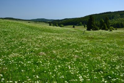
Horská louka u Háje, Nature reserve near Loučná pod Klínovcem, Czech Republic
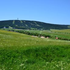
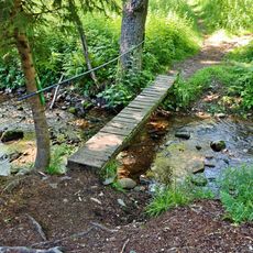
Horská louka u Háje is a nature reserve covering mountain meadows on the eastern slopes of Macecha at elevations between 915 and 960 meters (3,000 to 3,150 feet). The protected area combines open grassland, wetland patches, and forest edges that blend together naturally.
The area became a protected reserve on May 16, 1994, designated by the Chomutov district office to safeguard one of the last mountain meadows remaining in the Ore Mountains. This protection came as a response to the widespread loss of such grasslands across the region.
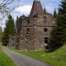
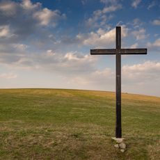
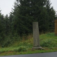
The land contains traces of former settlements, including ruins and old sunken pathways that show how people once lived and worked here. Walking across the meadow, you can still see these marks of past human presence woven into the landscape.
You can access the reserve by field path from the village of Háj or via a forest trail from the Selský les crossroads. The best time to visit is from May through September, when the meadows are fully open and the paths are easier to walk.
The reserve protects three distinct ecological communities found side by side: mat-grass meadows, wetlands, and mountain spruce forests. This mix creates habitat for uncommon plants like butterwort and small animals such as common lizards.
The community of curious travelers
AroundUs brings together thousands of curated places, local tips, and hidden gems, enriched daily by 60,000 contributors worldwide.