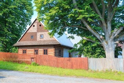
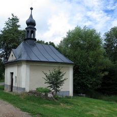
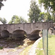
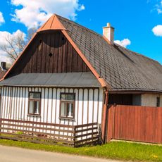
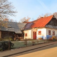
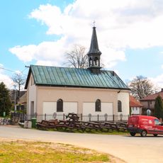
Lhoty, Municipal part in Vortová, Czech Republic.
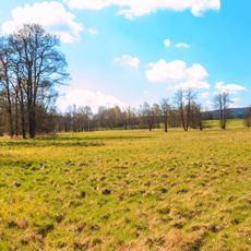
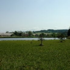
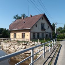
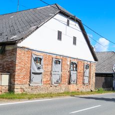
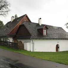
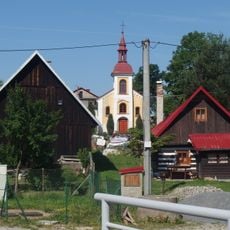
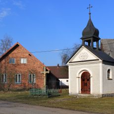
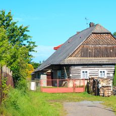
Lhoty is a municipal part of Vortová in the Pardubice Region, situated at approximately 612 meters elevation. The settlement forms part of a larger administrative area in the rural eastern Bohemia region.
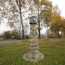
Vortová, of which Lhoty is part, first appeared in historical records in 1548 as a settlement in Chrudim District. The area developed during the medieval period of forest clearance and land colonization.
The name Lhoty comes from the Czech word lhóta, which describes a time when residents received exemptions from taxes for clearing forest land. This naming reflects how people historically shaped the landscape here.
The settlement has postal services under code 539 01 and operates on Central European Time, shifting to UTC+2 during summer months. Visitors should be aware of these local conditions when planning activities in the area.
Lhoty is one of approximately 309 settlements named Lhota across the Czech Republic, a remnant of medieval colonization patterns. This frequency shows how widespread forest clearance settlements were established during that era.
Location: Vortová
GPS coordinates: 49.71390,15.94500
Latest update: December 6, 2025 17:49
Beyond Prague, the Czech Republic spreads across regions filled with natural wonders and historical structures. Rock formations like the Pravčická Archway and Hruboskalsko Rock City display the distinctive geology of the area, while cave systems such as Mladeč and Sloup-Šošůvka invite exploration....
Hamry Reservoir
2.8 km
Pešava
4.3 km
Volákův kopec
3 km
Přírodní památka Zlámanec
1.3 km
Přírodní památka Utopenec
1.2 km
Přírodní památka Návesník
1.3 km
Louky v Jeníkově
3 km
Vortovský potok
1.7 km
Holy Trinity Church (Kameničky)
3.5 km
Pomník patronů české země
4.3 km
Chapel of Saint John of Nepomuk
4.3 km
Stone bridge in Herálec
4.4 km
Dům čp. 97
3.1 km
Usedlost čp. 32
4.4 km
Dům čp. 161
4.2 km
Usedlost čp. 14
3 km
Usedlost čp. 11
2.7 km
Krucifix
3.5 km
Chapel in Vortová
776 m
Chapel of Saint Anthony of Padua
3.1 km
Dům čp. 43
4.4 km
Dům čp. 25
3.2 km
Rozcestník Lhoty
31 m
Kamenný kříž v Zalíbeném
3.2 km
Louky v Jeníkově
3.1 km
Rozcestník Šantrůček - rybník
2.6 km
Chapel of Saint Wenceslaus
3.3 km
Pomník padlým v první světové válce v parku u kostela v Kameničkách
3.5 kmVisited this place? Tap the stars to rate it and share your experience / photos with the community! Try now! You can cancel it anytime.
Discover hidden gems everywhere you go!
From secret cafés to breathtaking viewpoints, skip the crowded tourist spots and find places that match your style. Our app makes it easy with voice search, smart filtering, route optimization, and insider tips from travelers worldwide. Download now for the complete mobile experience.
A unique approach to discovering new places❞
— Le Figaro
All the places worth exploring❞
— France Info
A tailor-made excursion in just a few clicks❞
— 20 Minutes