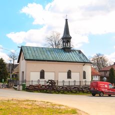
Pešava, Mountain summit in Jeníkov, Czech Republic.
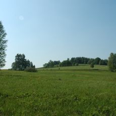
Pešava is a 697 m summit in the Kameničská vrchovina, part of the Železné hory, on the cadastral land of Jeníkov in the Pardubice Region. Its broad, irregularly shaped top holds meadows and small cultivated fields, with scattered shrubs and self-seeded trees; the bedrock is migmatite and orthogneiss.
Pešava lies in the Kameničská vrchovina, the highest district of the Sečská vrchovina within the Železné hory, on the cadastral land of Jeníkov in the Chrudim district. The summit plateau, locally also called Hroby, carries a granite triangulation marker of the Czech state network, recorded as "Pešava – Hrobky" at 696.96 m.
The name Pešava is also recorded locally as Hroby, and the trigonometric point carries the name "Pešava – Hrobky"; the sources give no origin for either name. The summit plateau is farmed and mown, with a granite marker standing in a narrow grass strip between fields.
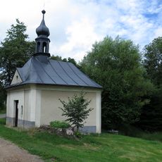
The summit plateau lies about 620 m southwest of road II/343 near the saddle at 680 m, and roughly 1 km north-northeast of the Chapel of St. Wenceslas in Jeníkov. The granite triangulation marker (696.96 m) stands in a narrow grass strip between fields; approach on field tracks.
The summit plateau is a protected area within the Žďárské vrchy Protected Landscape Area. A granite marker of the Czech trigonometric network, labelled "Pešava – Hrobky", stands at 696.96 m in a narrow grass strip between fields. The summit is also known locally as Hroby.
The community of curious travelers
AroundUs brings together thousands of curated places, local tips, and hidden gems, enriched daily by 92,727 contributors worldwide.