
Rtenín, village in Chrudim District of Pardubice region
Location: Mladoňovice
Elevation above the sea: 510 m
GPS coordinates: 49.87670,15.70920
Latest update: March 4, 2025 12:09

Church of Saint Wenceslaus in Hrbokov
1.7 km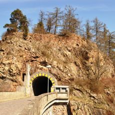
Vildštejn
6 km
Rabštejnek Castle
4.4 km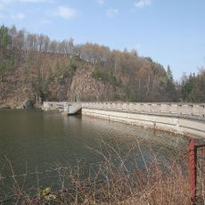
Křižanovice I Reservoir
5 km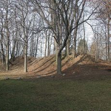
České Lhotice Celtic oppidum
5.4 km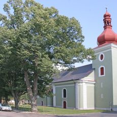
Church of Saint Lawrence (Seč)
5 km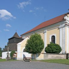
Church of Saint Vitus (Bojanov)
3.6 km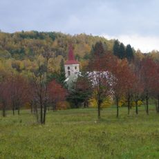
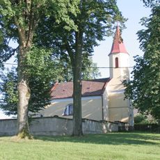
Church of Saint Wenceslaus
3.6 km
Polánka
5.3 km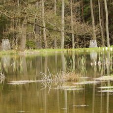
Boušovka
5.8 km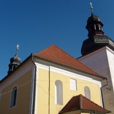
Church of Saint Michael in Licibořice
3.6 km
Chapel of Holy Guardian Angels
2.7 km
Vápenice
3.7 km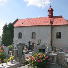
Church of Saint Stephen (Seč)
5.1 km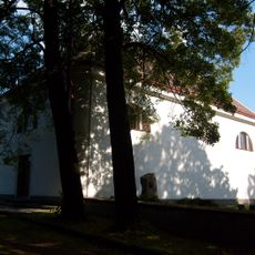
Protestant church
5.8 km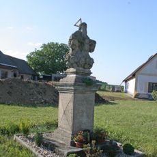
Sculpture of Holy Trinity
2.4 km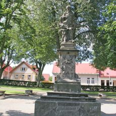
Socha svatého Jana Nepomuckého
5 km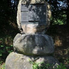
Pomník Mistra Jana Husa
5.8 km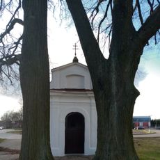
Kaple svatého Jiří
5.6 km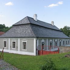
Rectory in Bojanov
3.6 km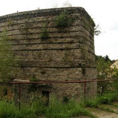
Vápenka ve Vápenném Podole
3.6 km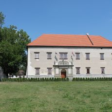
Seč Castle
4.8 km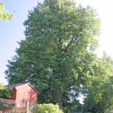
Památná lípa v Holíně
2.2 km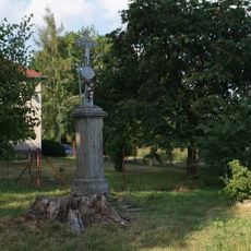
Boží muka v horní části návsi v Kraskově
5.9 km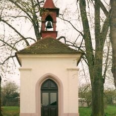
Chapel of Virgin Mary
4.9 km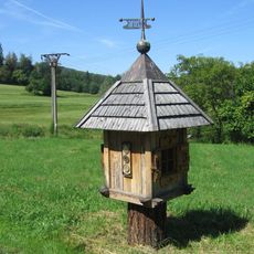
Meteorologický sloupek ve středu Cítkova
2.4 km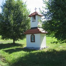
Kaplička ve středu Cítkova
2.4 km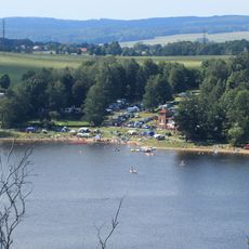
Autocamp Seč
5.9 kmReviews
Visited this place? Tap the stars to rate it and share your experience / photos with the community! Try now! You can cancel it anytime.
Discover hidden gems everywhere you go!
From secret cafés to breathtaking viewpoints, skip the crowded tourist spots and find places that match your style. Our app makes it easy with voice search, smart filtering, route optimization, and insider tips from travelers worldwide. Download now for the complete mobile experience.

A unique approach to discovering new places❞
— Le Figaro
All the places worth exploring❞
— France Info
A tailor-made excursion in just a few clicks❞
— 20 Minutes