
Stodůlecký vrch, protected area in Czech Republic
Location: Pohoří na Šumavě
Inception: May 27, 1992
GPS coordinates: 48.58670,14.70080
Latest update: March 23, 2025 06:11

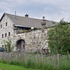
Hoisn-Hof
8.9 km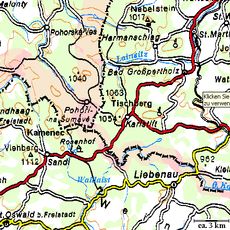
Tischberg
3.3 km
Pivonické skály
8.7 km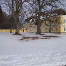
Schloss Rosenhof
4.3 km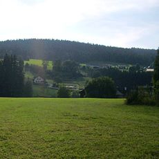
Viehberg
6.4 km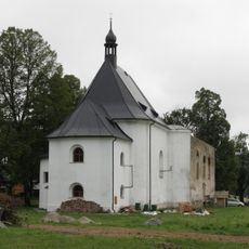
Church of Our Lady of Good Counsel (Pohoří na Šumavě)
1.9 km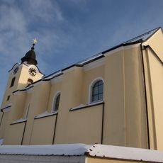
Pfarrkirche Sandl
5.1 km
Prameniště Pohořského potoka
1.1 km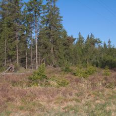
Pohořské rašeliniště
2.9 km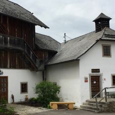
Hinterglasmuseum in Sandl
5.1 km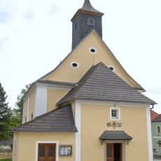
Pfarrkirche Karlstift
3.7 km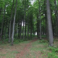
Myslivna
5.4 km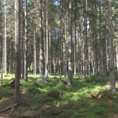
U tří můstků
3.4 km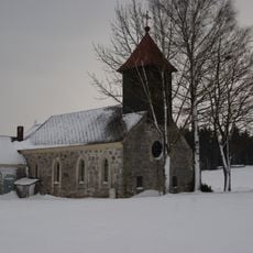
Ortskapelle Schöneben
6.6 km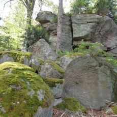
Stříbrný vrch
7.5 km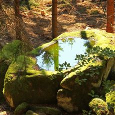
Warzenstein
8.1 km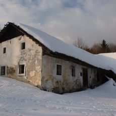
Bauernhaus, Gstöttnhaus
5.8 km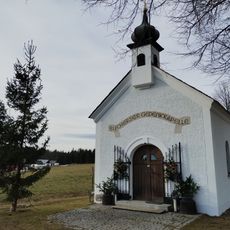
Bucherser Gedenkkapelle
1.6 km
Ehem. Glashütte am Bauernberg
5.5 km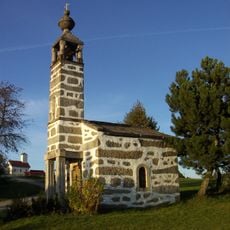
Hoisn-Kapelle
8.9 km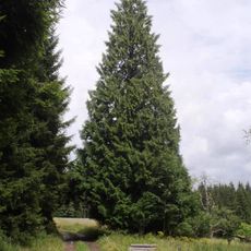
Zerav obrovský
1.7 km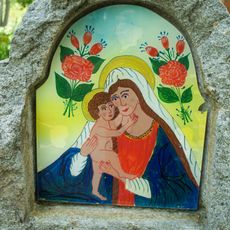
Boží muka u čp. 13 v Pohoří na Šumavě
2 km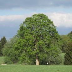
Pohořský klen
1.2 km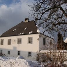
Pfarrhof
5.1 km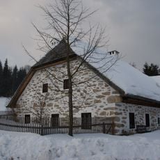
Inleuthäusl vom Berghaus Nr.3
2.7 km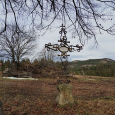
Cross near Bucherser Gedenkkapelle
1.8 km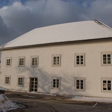
Schule, Kindergarten
5.1 km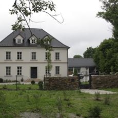
Pohoří na Šumavě čp. 36
1.9 kmReviews
Visited this place? Tap the stars to rate it and share your experience / photos with the community! Try now! You can cancel it anytime.
Discover hidden gems everywhere you go!
From secret cafés to breathtaking viewpoints, skip the crowded tourist spots and find places that match your style. Our app makes it easy with voice search, smart filtering, route optimization, and insider tips from travelers worldwide. Download now for the complete mobile experience.

A unique approach to discovering new places❞
— Le Figaro
All the places worth exploring❞
— France Info
A tailor-made excursion in just a few clicks❞
— 20 Minutes