
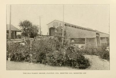
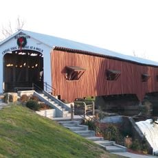
Clinton Covered Bridge, bridge in Indiana, United States
Location: Indiana
Inception: 1857
GPS coordinates: 39.65700,-87.39550
Latest update: September 23, 2025 16:46
Bridgeton Covered Bridge
18.8 km
Vincennes Historic District
11.6 km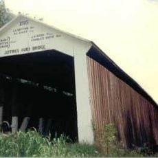
Jeffries Ford Covered Bridge
16.3 km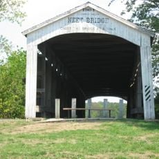
Neet Covered Bridge
17.6 km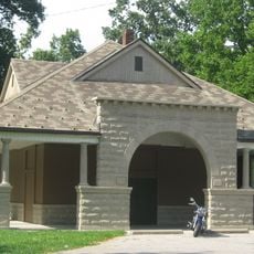
Collett Park
18.2 km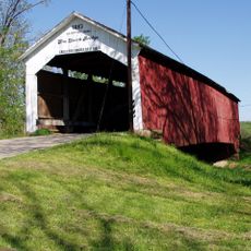
Sim Smith Covered Bridge
14.1 km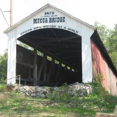
Mecca Covered Bridge
10.1 km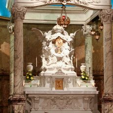
Blessed Sacrament Chapel
17.2 km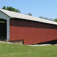
Possum Bottom Covered Bridge
16.4 km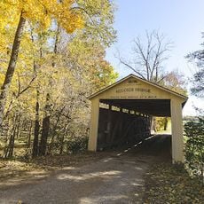
Melcher Covered Bridge
15.6 km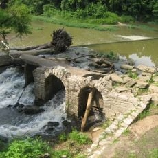
Markle House and Mill Site
15 km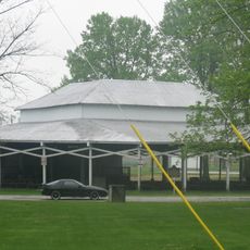
Rockville Chautauqua Pavilion
17.9 km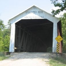
McAllister Covered Bridge
18.4 km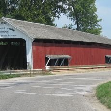
Thorpe Ford Covered Bridge
11.3 km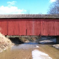
Harry Evans Covered Bridge
8.7 km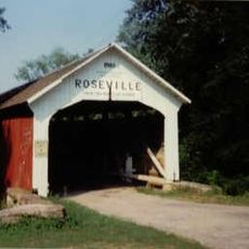
Roseville-Coxville Covered Bridge
8.7 km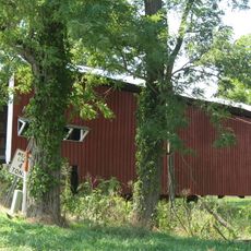
Crooks Covered Bridge
19.2 km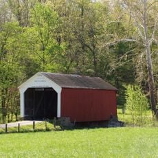
Phillips Covered Bridge
14.3 km
Twelve Points Historic District
18.4 km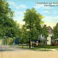
Collett Park Neighborhood Historic District
18 km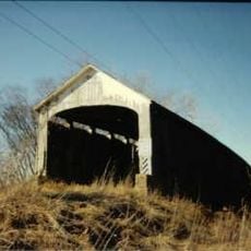
Nevins Covered Bridge
16 km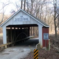
Zacke Cox Covered Bridge
10.3 km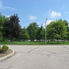
Foley Hall
17.3 km
Rockville Historic District
18.4 km
Wabash Township Graded School
9.3 km
Salem Methodist Episcopal Church
8.3 km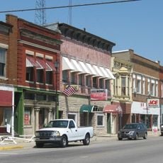
Clinton Downtown Historic District
365 m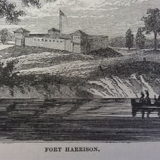
Fort Harrison
16.7 kmReviews
Visited this place? Tap the stars to rate it and share your experience / photos with the community! Try now! You can cancel it anytime.
Discover hidden gems everywhere you go!
From secret cafés to breathtaking viewpoints, skip the crowded tourist spots and find places that match your style. Our app makes it easy with voice search, smart filtering, route optimization, and insider tips from travelers worldwide. Download now for the complete mobile experience.

A unique approach to discovering new places❞
— Le Figaro
All the places worth exploring❞
— France Info
A tailor-made excursion in just a few clicks❞
— 20 Minutes