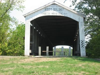
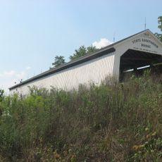
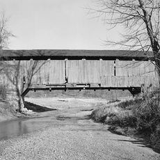
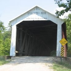
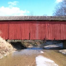
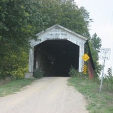
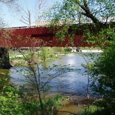
Neet Covered Bridge, Covered bridge in Parke County, Indiana, US.
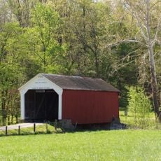
The Neet Covered Bridge is a wooden structure crossing the Little Raccoon Creek with an arched interior design characteristic of early 20th-century construction. It features protective wooden siding that shelters the load-bearing framework from weather exposure.
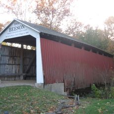
The bridge was built in 1904 as a final project by an experienced builder nearing the end of his career. It has survived over a century and underwent comprehensive restoration work in the late 1980s.
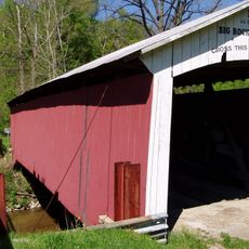
The structure reflects construction methods that shaped rural transportation in the region and remains a working part of the local landscape. Walking across it shows how communities adapted engineering to their environment.
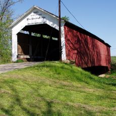
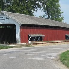
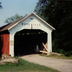
The bridge is accessible by road and has parking areas nearby for visitors who want to stop and explore. The best time to visit is during daylight hours when the wooden details and construction are easiest to see and photograph.
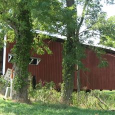
A local youth organization completed a full repainting of the structure in the 1980s, showing how communities take part in preserving historic buildings. This hands-on maintenance effort helped keep the bridge in good condition for decades afterward.
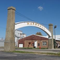
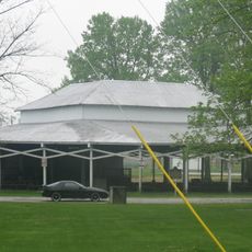
The community of curious travelers
AroundUs brings together thousands of curated places, local tips, and hidden gems, enriched daily by 60,000 contributors worldwide.