Gilbert Town Historic District

Log in to your account

AroundUs is a community-driven map of interesting places, built by curious explorers like you. It grows with every review, story, and photo you share.
Connect to save your favorite spots, contribute locations, and create personalized routes.
Continue with Google
Continue with Apple
Continue with X
Continue with Facebook
Continue with email
By continuing, you accept our Terms and Conditions and our Privacy Policy
Create an account
Add to collection
Map
Suggest a change
Share

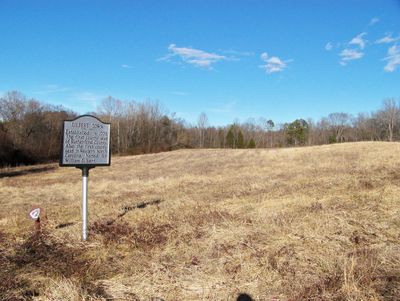
Gilbert Town Historic District, Archaeological site and National Register of Historic Places in Rutherfordton, North Carolina.

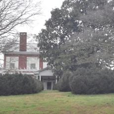
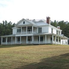
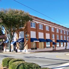
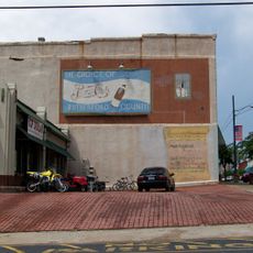
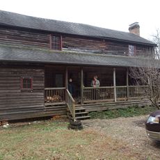
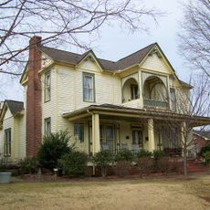
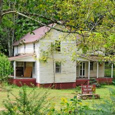
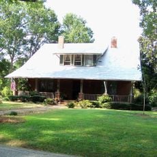
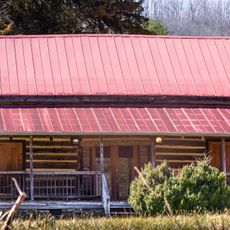
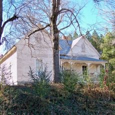
Gilbert Town Historic District is an approximately 460 acre area along rural roads in Rutherfordton, North Carolina, containing archaeological remains of colonial buildings and trading centers. The sites include foundations and ruins of homes, shops, taverns, mills, and blacksmith operations from the early American period.

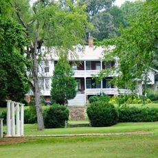
This area developed as a trading settlement in the late 1700s and became strategically important during the American Revolutionary War from 1776 to 1783. Control shifted between Patriot and Loyalist forces, and the location functioned as a regional administrative center during portions of that conflict.

This location served as a gathering place where settlers, traders, and military personnel crossed paths and conducted daily business during the colonial period. The scattered ruins of homes, shops, and workshops reveal how communities functioned and organized their work in early America.

Access to the site is available through hiking trails that connect to a larger regional trail system, allowing visitors to explore on foot. Visitors should prepare for uneven terrain and bring appropriate clothing, as the archaeological sites are located outdoors with minimal shelter.

From 1781 to 1783, the district served as the courthouse for Rutherford County, demonstrating its role as a civic center during wartime. This dual function as both a trading hub and seat of justice reveals how frontier settlements combined commerce and governance in one location.

Location: North Carolina

GPS coordinates: 35.40690,-81.94360

Latest update: December 14, 2025 14:27

Photos
Around this place
Chimney Rock State Park
United States of America

Chimney Rock State Park

28 km
Green River Plantation
United States of America

Green River Plantation

15 km
Pine Gables
United States of America

Pine Gables

26.1 km
Rainbow Falls
United States of America

Rainbow Falls

28.8 km
Fox Haven Plantation
United States of America

Fox Haven Plantation

11.9 km
Rutherford County Courthouse
United States of America

Rutherford County Courthouse

4.6 km
Carson-Andrews Mill and Ben F.W. Andrews House
United States of America

Carson-Andrews Mill and Ben F.W. Andrews House

9.7 km
Forest City Baptist Church
United States of America

Forest City Baptist Church

10.5 km
Main Street Historic District
United States of America

Main Street Historic District

10.9 km
Main Street Historic District
United States of America

Main Street Historic District

4.5 km
John Lattimore House
United States of America

John Lattimore House

25.5 km
Carrier Houses
United States of America

Carrier Houses

4.3 km
Cliffside Public School
United States of America

Cliffside Public School

10.4 km
Washburn Historic District
United States of America

Washburn Historic District

11.6 km
Trinity Lutheran Church
United States of America

Trinity Lutheran Church

4 km
James Dexter Ledbetter House
United States of America

James Dexter Ledbetter House

7.1 km
Alexander Manufacturing Company Mill Village Historic District
United States of America

Alexander Manufacturing Company Mill Village Historic District

13.4 km
St. Luke's Chapel
United States of America

St. Luke's Chapel

5.4 km
East Main Street Historic District
United States of America

East Main Street Historic District

11.6 km
George W. Logan House
United States of America

George W. Logan House

4.2 km
Rev. Joshua D. Jones House
United States of America

Rev. Joshua D. Jones House

23.9 km
T. Max Watson House
United States of America

T. Max Watson House

11.3 km
West Main Street Historic District
United States of America

West Main Street Historic District

10 km
Bostic Charge Parsonage
United States of America

Bostic Charge Parsonage

11 km
Albertus Ledbetter House
United States of America

Albertus Ledbetter House

20.5 km
Melton-Davis House
United States of America

Melton-Davis House

12.1 km
Carolina Arcade Museum
United States of America

Carolina Arcade Museum

10.9 km
KidSenses Children's INTERACTIVE Museum
United States of America

KidSenses Children's INTERACTIVE Museum

4.6 km
Show the full map
Reviews

Visited this place? Tap the stars to rate it and share your experience / photos with the community! Try now! You can cancel it anytime.

« Gilbert Town Historic District - Archaeological site and National Register of Historic Places in Rutherfordton, North Carolina » is provided by Around Us (aroundus.com). Images and texts are derived from Wikimedia project under a Creative Commons license. You are allowed to copy, distribute, and modify copies of this page, under the conditions set by the license, as long as this note is clearly visible.

Discover hidden gems everywhere you go!

From secret cafés to breathtaking viewpoints, skip the crowded tourist spots and find places that match your style. Our app makes it easy with voice search, smart filtering, route optimization, and insider tips from travelers worldwide. Download now for the complete mobile experience.

Around Us App Screenshot

A unique approach to discovering new places

Le Figaro

All the places worth exploring

France Info

A tailor-made excursion in just a few clicks

20 Minutes