Chest opened
+${chestReward.xp} XP
Explorer
NOUVEAU ×${chestReward.collectible.quantity}
tapez pour fermer

See the monuments around you in AR Open chests in the app

Around Us is built for your phone — point your camera at the streets and discover the monuments and places around you in augmented reality. Around Us is built for your phone — chests unlock when you walk, explore and capture nearby places.

Enable Location

We need your location to show you interesting places around you

Discover nearby places

Find interesting locations and hidden gems around you

Precise directions

Get accurate directions and distances to places

Your location is never shared with other users. It's only used when you tap the location button.

McLemore Cove

Log in to your account

Start exploring — it's free

Trusted by 86,056 travelers worldwide

Continue with Google
Continue with Apple
or

We will send you a code to connect

By continuing, you accept our Terms and Conditions and our Privacy Policy

Check your inbox

We've sent a pincode in your inbox. Please enter the code below.

McLemore Cove
Discussion Reviews 1 Photos
1.4k Popularity

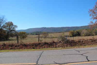
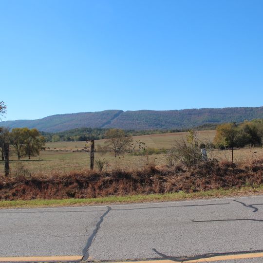
McLemore Cove, Valley between Lookout Mountain and Pigeon Mountain in Georgia, United States.

McLemore Cove is a valley in Walker County surrounded by mountain ridges that create a contained agricultural landscape. The area consists primarily of open farmlands that fill the valley floor between these natural boundaries.

The valley was settled by early colonists and contains structures dating to the antebellum period. The region gained formal recognition of its historical importance when it was added to the National Register of Historic Places in 1994.

The valley takes its name from Robert and John McLemore, whose father was a white trader and mother was Cherokee. These names reflect the mixed heritage of the region's early settlers.

The valley is accessible via GA 193 heading west from LaFayette toward Davis Crossroads, where it begins to open up. Driving through the area along the main route gives good views of the farmlands and surrounding ridges.

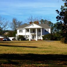
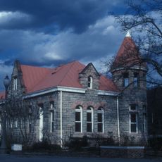
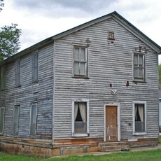
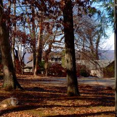
Homes from the 1890s still stand throughout the valley, displaying the construction techniques and materials common to that era. These structures offer a rare window into how nineteenth-century builders worked with what was locally available.

The community of curious travelers

AroundUs brings together thousands of curated places, local tips, and hidden gems, enriched daily by 60,000 contributors worldwide.
Start exploring
Location
GPS coordinates
34.61772,-85.45243
Latest update
September 11, 2026 22:05
Around this place
Cloudland Canyon State Park
United States of America

Cloudland Canyon State Park

15.5 mi
United States of America

Ellison's Cave

6 mi
United States of America

Petty John's Cave

6 mi
DeSoto State Park
United States of America

DeSoto State Park

12.9 mi
DeSoto Falls
United States of America

DeSoto Falls

9.2 mi
James H. Floyd State Park
United States of America

James H. Floyd State Park

13.9 mi
Hemlock Falls
United States of America

Hemlock Falls

15.2 mi
Little River Falls
United States of America

Little River Falls

18.3 mi
Cherokee Falls
United States of America

Cherokee Falls

15.1 mi
Cherokee Plantation
United States of America

Cherokee Plantation

15.4 mi
Old Union Crossing Covered Bridge
United States of America

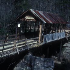
Old Union Crossing Covered Bridge

10.1 mi
Marsh-Warthen House
United States of America

Marsh-Warthen House

11.6 mi
W. B. Davis Hosiery Mill
United States of America

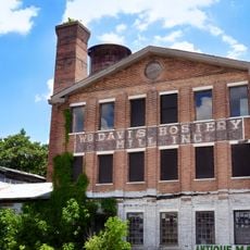
W. B. Davis Hosiery Mill

19.1 mi
Winston Place
United States of America

Winston Place

9.8 mi
Fort Payne Opera House
United States of America

Fort Payne Opera House

19.5 mi
Walker County Courthouse
United States of America

Walker County Courthouse

11.5 mi
Dr. J.A. Gorman House
United States of America

Dr. J.A. Gorman House

8.5 mi
Vance C. Larmore House
United States of America

Vance C. Larmore House

13.2 mi
Fort Payne Boom Town Historic District
United States of America

Fort Payne Boom Town Historic District

19.4 mi
Chickamauga Lodge No. 221, Free and Accepted Masons, Prince Hall Affiliate
United States of America

Chickamauga Lodge No. 221, Free and Accepted Masons, Prince Hall Affiliate

18.5 mi
Chattooga Academy
United States of America

Chattooga Academy

11.6 mi
Chickamauga Historic District
United States of America

Chickamauga Historic District

19.5 mi
Chattooga County Courthouse
United States of America

Chattooga County Courthouse

11.2 mi
Dade County Courthouse
United States of America

Dade County Courthouse

17.9 mi
United States of America

Penn Place

10.9 mi
United States of America

Summerville Commercial Historic District

11.2 mi
DeKalb Theatre
United States of America

DeKalb Theatre

19.3 mi
Mars Theatre
United States of America

Mars Theatre

11.2 mi
Show the full map
Reviews
Share your experience

No review yet

Discussions
Start a discussion...

No discussion yet

« McLemore Cove - Valley between Lookout Mountain and Pigeon Mountain in Georgia, United States » is provided by Around Us (aroundus.com). Images and texts are derived from Wikimedia project under a Creative Commons license. You are allowed to copy, distribute, and modify copies of this page, under the conditions set by the license, as long as this note is clearly visible.

Discover hidden gems everywhere you go!

From secret cafés to breathtaking viewpoints, skip the crowded tourist spots and find places that match your style. Our app makes it easy with voice search, smart filtering, route optimization, and insider tips from travelers worldwide. Download now for the complete mobile experience.

Around Us App Screenshot

A unique approach to discovering new places

Le Figaro

All the places worth exploring

France Info

A tailor-made excursion in just a few clicks

20 Minutes

Around Us
Travel Guide & Maps
Download

Send to your phone

QR Code
1

Open the camera app on your mobile.

2

Point at the QR code with your camera. A notification will appear.

3

Tap the notification to open the link.