
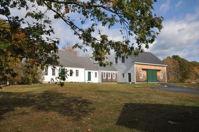
Dyer–Hutchinson Farm, human settlement in United States of America
Location: Cape Elizabeth
Inception: 1793
Address: 1148 Sawyer Road
GPS coordinates: 43.60500,-70.26333
Latest update: March 5, 2025 01:40

Portland Head Light
4.9 km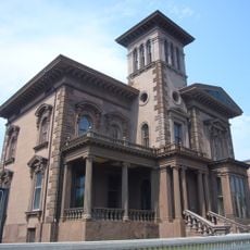
Victoria Mansion
5.2 km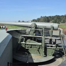
Fort Williams
4.7 km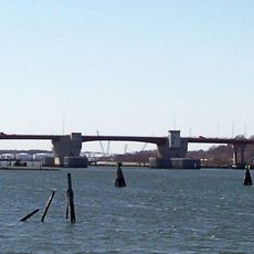
Casco Bay Bridge
4.4 km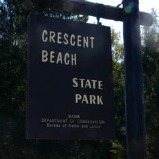
Crescent Beach State Park
5.2 km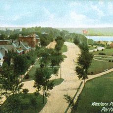
Western Promenade
4.7 km
Million Dollar Bridge
4.4 km
Portland Club
5.2 km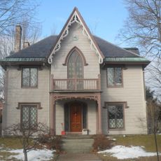
The Gothic House
4.6 km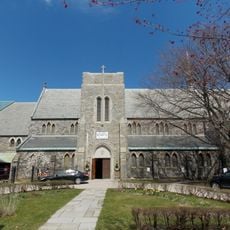
Cathedral Church of St. Luke
5.3 km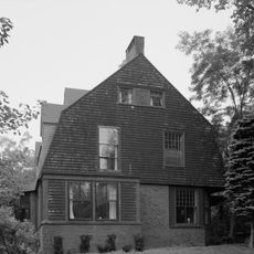
John Calvin Stevens House
4.7 km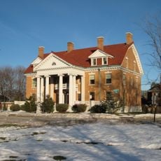
Western Promenade Historic District
4.9 km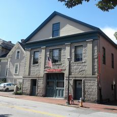
Spring Street Historic District
5.3 km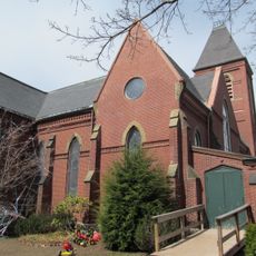
Williston-West Church and Parish House
4.8 km
Hamblen Development Historic District
4.8 km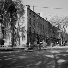
Park Street Row
5.2 km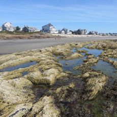
Higgins Beach
4.6 km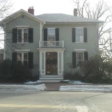
Harrison B. Brown House
4.4 km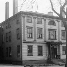
Joseph Holt Ingraham House
5 km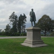
Statue of Thomas Brackett Reed
5.1 km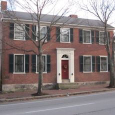
Nathaniel Dyer House
4.9 km
A.B. Butler House
4.8 km
State Reform School Historic District
5 km
William Minott House
5.1 km
Adam P. Leighton House
5.2 km
Hamblen Block
4.8 km
Seavey-Robinson House
2.3 km
Crescent Lodge
5 kmVisited this place? Tap the stars to rate it and share your experience / photos with the community! Try now! You can cancel it anytime.
Discover hidden gems everywhere you go!
From secret cafés to breathtaking viewpoints, skip the crowded tourist spots and find places that match your style. Our app makes it easy with voice search, smart filtering, route optimization, and insider tips from travelers worldwide. Download now for the complete mobile experience.

A unique approach to discovering new places❞
— Le Figaro
All the places worth exploring❞
— France Info
A tailor-made excursion in just a few clicks❞
— 20 Minutes