
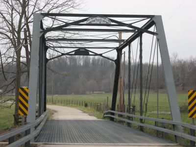
Lamb's Creek Bridge
Yellowwood State Forest
12.4 km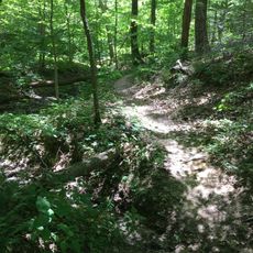
Morgan–Monroe State Forest
12.6 km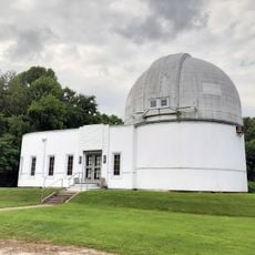
Goethe Link Observatory
15.6 km
Hall School
15.1 km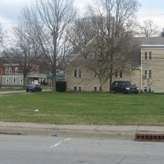
Hite-Finney House
4.2 km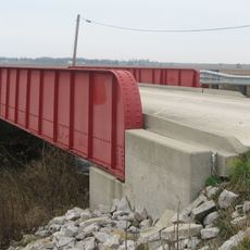
Lake Ditch Bridge
17.5 km
Morgan County Public Library
4.1 km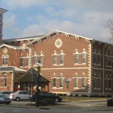
Morgan County Courthouse
4.1 km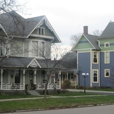
East Washington Street Historic District
4.6 km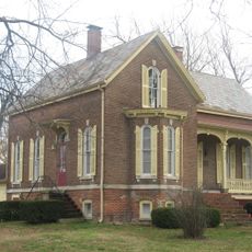
Crawford-Gilpin House
4 km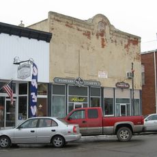
Morgantown Historic District
19.3 km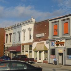
Martinsville Commercial Historic District
4.1 km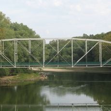
Secrest Ferry Bridge
20.1 km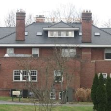
Bradford Estate
9.4 km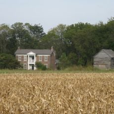
Secrest-Wampler House
22.9 km
Mooresville Friends Academy Building
22.8 km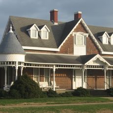
Blackstone House and Martinsville Telephone Company Building
4.1 km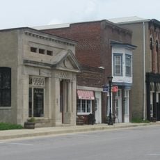
Gosport Historic District
18.2 km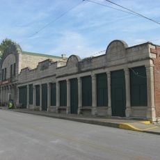
Stinesville Commercial Historic District
20.6 km
Dr. H.G. Osgood House
18.3 km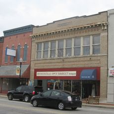
Mooresville Commercial Historic District
22.7 km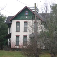
Blankenship-Hodges-Brown House
8.6 km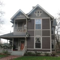
Neely House
4.9 km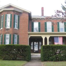
Martinsville Northside Historic District
4.4 km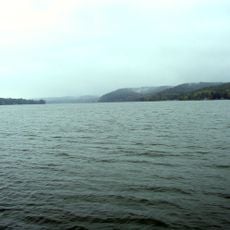
Lake Lemon
19.7 km
Low Gap Trail
13.3 km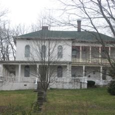
Franklin Landers-Black and Adams Farm
15.4 km
Mooresville Friends Academy Building
22.8 kmReviews
Visited this place? Tap the stars to rate it and share your experience / photos with the community! Try now! You can cancel it anytime.
Discover hidden gems everywhere you go!
From secret cafés to breathtaking viewpoints, skip the crowded tourist spots and find places that match your style. Our app makes it easy with voice search, smart filtering, route optimization, and insider tips from travelers worldwide. Download now for the complete mobile experience.

A unique approach to discovering new places❞
— Le Figaro
All the places worth exploring❞
— France Info
A tailor-made excursion in just a few clicks❞
— 20 Minutes