
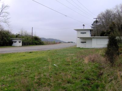
Bethel Valley Road Checking Station
Bethel Valley Road Checking Station, government building in Oak Ridge, Tennessee
Location: Oak Ridge
Part of: Oak Ridge gatehouses
GPS coordinates: 35.98694,-84.21722
Latest update: September 23, 2025 15:11
East Tennessee
14.3 km
X-10 Graphite Reactor
11.2 km
Manhattan Project National Historical Park
16.9 km
Spallation Neutron Source
8.6 km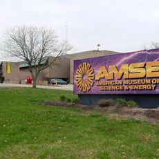
American Museum of Science and Energy
4.3 km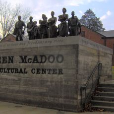
Green McAdoo School
14.6 km
United Church, The Chapel on the Hill
5.3 km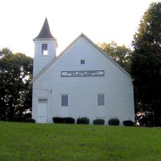
George Jones Memorial Baptist Church
15 km
University of Tennessee Arboretum
815 m
Alexander Inn
5.2 km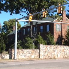
Statesview
15.8 km
Children's Museum of Oak Ridge
6.4 km
Avery Russell House
12.8 km
New Bethel Baptist Church
9.9 km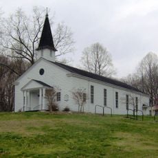
Oak Ridge Historic District
5.6 km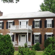
Boyd-Harvey House
17.3 km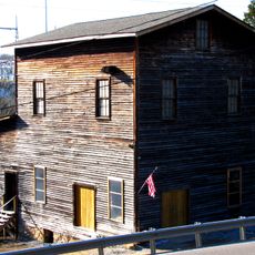
Ebenezer Mill
15.8 km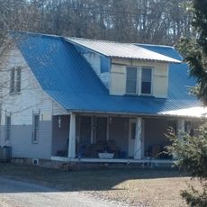
J. B. Jones House
5 km
Luther Brannon House
6.4 km
Strike & Spare Western Avenue
18.3 km
Colonial Hall
12.8 km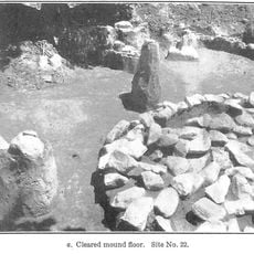
Freel Farm Mound Site
1.5 km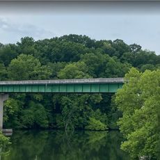
Charles Vanden Bulck Bridge
14.7 km
Sonic
17.9 km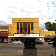
Ritz Theatre
14.7 km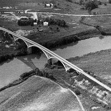
Dr. Herman Postma Memorial Solway Bridge
2.1 km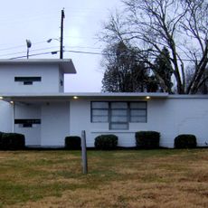
Oak Ridge Turnpike Checking Station
10.6 km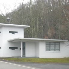
Bear Creek Road Checking Station
2.7 kmVisited this place? Tap the stars to rate it and share your experience / photos with the community! Try now! You can cancel it anytime.
Discover hidden gems everywhere you go!
From secret cafés to breathtaking viewpoints, skip the crowded tourist spots and find places that match your style. Our app makes it easy with voice search, smart filtering, route optimization, and insider tips from travelers worldwide. Download now for the complete mobile experience.

A unique approach to discovering new places❞
— Le Figaro
All the places worth exploring❞
— France Info
A tailor-made excursion in just a few clicks❞
— 20 Minutes