Manhattan Project National Historical Park

Log in to your account

AroundUs is a community-driven map of interesting places, built by curious explorers like you. It grows with every review, story, and photo you share.
Connect to save your favorite spots, contribute locations, and create personalized routes.
Continue with Google
Continue with Apple
Continue with X
Continue with Facebook
Continue with email
By continuing, you accept our Terms and Conditions and our Privacy Policy
Create an account

Manhattan Project National Historical Park

Add to collection
Map
Suggest a change
Share

Manhattan Project National Historical Park, National Historical Park in Oak Ridge, Los Alamos, and Hanford, United States.

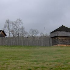
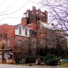
Manhattan Project National Historical Park spreads across three locations in Oak Ridge, Los Alamos, and Hanford, documenting the nuclear research facilities from World War II. The sites preserve buildings, laboratories, and production plants that played a central role in developing the first atomic bombs.

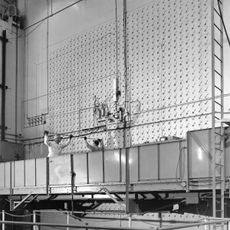
The three sites emerged between 1942 and 1943 as part of a secret government program to develop nuclear weapons. By the end of the war in 1945, tens of thousands of people worked here on uranium enrichment, reactor design, and weapon production.

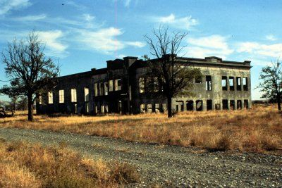
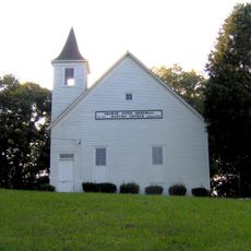
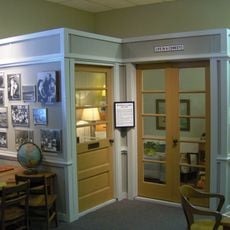
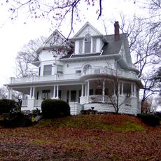
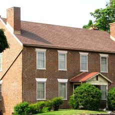
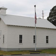
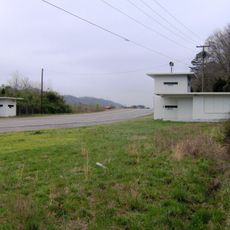
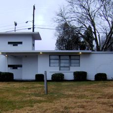
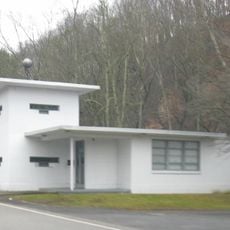
The park maintains original buildings, technical equipment, and personal objects that reveal the daily experiences of the personnel involved in this scientific endeavor.

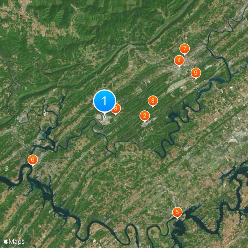
Guided tours are available at all three locations, with each site showing different aspects of research and production. Visits often require advance registration since some areas remain security zones or are actively used for other purposes.

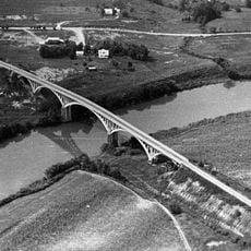
Oak Ridge still houses what was once the largest building in the world, constructed for uranium separation processes. The remote locations were deliberately chosen in sparsely populated regions to shield the project from espionage and potential accidents.

Location: Oak Ridge

Location: Los Alamos

Location: Hanford

Inception: November 10, 2015

Website: https://nps.gov/mapr

GPS coordinates: 35.93540,-84.39333

Latest update: December 20, 2025 13:41

Photos
Around this place
X-10 Graphite Reactor
United States of America

X-10 Graphite Reactor

6.9 km
United States of America

Spallation Neutron Source

8.4 km
American Museum of Science and Energy
United States of America

American Museum of Science and Energy

15.3 km
Bussell Island
United States of America

Bussell Island

21.2 km
Fort Southwest Point
United States of America

Fort Southwest Point

14.8 km
United Church, The Chapel on the Hill
United States of America

United Church, The Chapel on the Hill

17.2 km
George Jones Memorial Baptist Church
United States of America

George Jones Memorial Baptist Church

1.9 km
United States of America

University of Tennessee Arboretum

16.8 km
American Temperance University
United States of America

American Temperance University

14.3 km
Alexander Inn
United States of America

Alexander Inn

17.1 km
Children's Museum of Oak Ridge
United States of America

Children's Museum of Oak Ridge

14.7 km
Cornstalk Heights
United States of America

Cornstalk Heights

13.8 km
Avery Russell House
United States of America

Avery Russell House

21.8 km
New Bethel Baptist Church
United States of America

New Bethel Baptist Church

7.9 km
Roane County Courthouse
United States of America

Roane County Courthouse

13.1 km
Oak Ridge Historic District
United States of America

Oak Ridge Historic District

16.3 km
Luther Brannon House
United States of America

Luther Brannon House

20.5 km
Colonial Hall
United States of America

Colonial Hall

13 km
Col. Gideon Morgan House
United States of America

Col. Gideon Morgan House

13.1 km
Freel Farm Mound Site
United States of America

Freel Farm Mound Site

16.3 km
Charles Vanden Bulck Bridge
United States of America

Charles Vanden Bulck Bridge

8.2 km
Lone Mountain State Forest
United States of America

Lone Mountain State Forest

20.9 km
Princess Theatre
United States of America

Princess Theatre

14.2 km
Dr. Herman Postma Memorial Solway Bridge
United States of America

Dr. Herman Postma Memorial Solway Bridge

18.9 km
Bethel Valley Road Checking Station
United States of America

Bethel Valley Road Checking Station

16.9 km
Oak Ridge Turnpike Checking Station
United States of America

Oak Ridge Turnpike Checking Station

7.3 km
Bear Creek Road Checking Station
United States of America

Bear Creek Road Checking Station

15.3 km
Dr. Fred Stone, Sr., Hospital
United States of America

Dr. Fred Stone, Sr., Hospital

13.3 km
Show the full map
Reviews

Visited this place? Tap the stars to rate it and share your experience / photos with the community! Try now! You can cancel it anytime.

« Manhattan Project National Historical Park - National Historical Park in Oak Ridge, Los Alamos, and Hanford, United States » is provided by Around Us (aroundus.com). Images and texts are derived from Wikimedia project under a Creative Commons license. You are allowed to copy, distribute, and modify copies of this page, under the conditions set by the license, as long as this note is clearly visible.

Discover hidden gems everywhere you go!

From secret cafés to breathtaking viewpoints, skip the crowded tourist spots and find places that match your style. Our app makes it easy with voice search, smart filtering, route optimization, and insider tips from travelers worldwide. Download now for the complete mobile experience.

Around Us App Screenshot

A unique approach to discovering new places

Le Figaro

All the places worth exploring

France Info

A tailor-made excursion in just a few clicks

20 Minutes