Fort Southwest Point
Fort Southwest Point, Military archaeological site in Kingston, Tennessee.
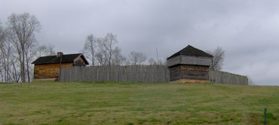
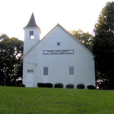
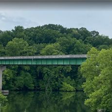
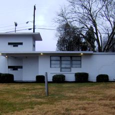
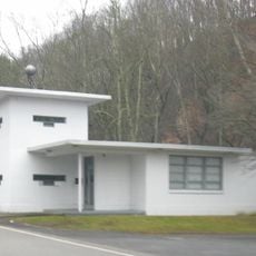
Fort Southwest Point sits where the Tennessee and Clinch Rivers meet, featuring reconstructed buildings from the 1797 federal frontier outpost. The site includes rebuilt barracks, officer housing, and a supply distribution center that show how the military garrison lived and worked.
The fort operated as a federal garrison from 1797 to 1811 and protected the frontier during early American westward growth. It served as a critical control point along the route between Knoxville and Nashville.
The site served as a key meeting place where the Cherokee Nation and the United States government negotiated land agreements and travel rights. Visitors walking through the grounds can sense how important this location was for communication between these two nations.
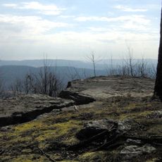
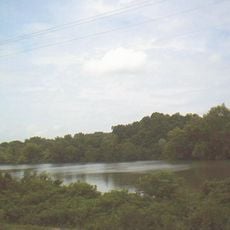
The site sits at the river confluence, which serves as a natural landmark for orientation and helps visitors locate the reconstructed buildings. Plan to spend time walking the grounds and taking in views of both rivers from the elevated terrain.
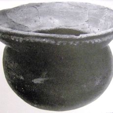
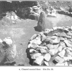
Excavations during the 1980s uncovered the original fort layout and revealed how the buildings were positioned and used. These archaeological findings guided the reconstruction of the buildings that visitors can see on the site today.
Location: Tennessee
GPS coordinates: 35.86060,-84.52920
Latest update: December 12, 2025 07:59
X-10 Graphite Reactor
20.5 km
Manhattan Project National Historical Park
14.8 km
Spallation Neutron Source
22.8 km
American Museum of Science and Energy
30.1 km
Ozone Falls State Natural Area
25.4 km
Ozone Falls
26 km
Bussell Island
26.2 km
George Jones Memorial Baptist Church
16.6 km
American Temperance University
8.4 km
Children's Museum of Oak Ridge
29.4 km
Cornstalk Heights
8.3 km
Blair's Ferry Storehouse
22.1 km
New Bethel Baptist Church
21.8 km
Tamke-Allan Observatory
8.6 km
Roane County Courthouse
1.7 km
Oak Ridge Historic District
31.1 km
Post Oak Springs Christian Church
9.6 km
Colonial Hall
26.6 km
Col. Gideon Morgan House
1.7 km
Freel Farm Mound Site
30.7 km
Charles Vanden Bulck Bridge
18.7 km
Lone Mountain State Forest
23.6 km
Obed Wild and Scenic River Visitor Center
28 km
Princess Theatre
8.5 km
Bethel Valley Road Checking Station
31.4 km
Oak Ridge Turnpike Checking Station
22.1 km
Bear Creek Road Checking Station
30.1 km
Fort Loudoun Lake
26.9 kmVisited this place? Tap the stars to rate it and share your experience / photos with the community! Try now! You can cancel it anytime.
Discover hidden gems everywhere you go!
From secret cafés to breathtaking viewpoints, skip the crowded tourist spots and find places that match your style. Our app makes it easy with voice search, smart filtering, route optimization, and insider tips from travelers worldwide. Download now for the complete mobile experience.
A unique approach to discovering new places❞
— Le Figaro
All the places worth exploring❞
— France Info
A tailor-made excursion in just a few clicks❞
— 20 Minutes