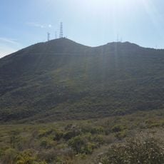
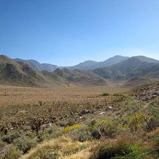
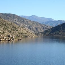
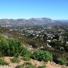
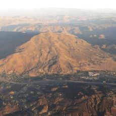
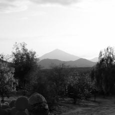
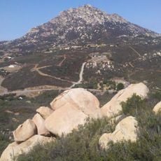
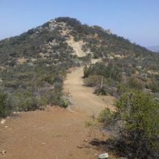
Devils Canyon, Canyon in San Bernardino Mountains, California.
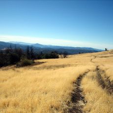
Devils Canyon is a canyon in the San Bernardino Mountains carved by a creek system with East and West Forks that feed into the Santa Ana River. The landscape changes from lower valleys to steeper ridges, creating multiple hiking routes along the watercourse.
The area gained federal protection in 1968, which helped preserve its geological structures for the long term. This designation allowed the canyon and surrounding landscape to remain largely unchanged from development.
The canyon trails provide opportunities for nature photography, wildlife observation, and outdoor education focused on California's mountain ecosystems and geological structures.
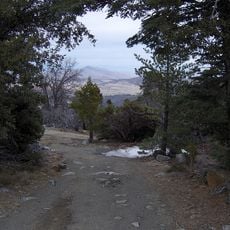
Hikers should prepare for changing elevations and bring sturdy shoes and plenty of water for the journey. The trail requires careful footing when crossing water and navigating varying ground conditions throughout the day.
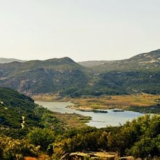
Tucked within the canyon is a small creek shelter beside a waterfall, surrounded by old-growth Douglas-firs and sage plants. Most hikers overlook this hidden spot while following the main route through the area.
Location: California
GPS coordinates: 32.68500,-116.14500
Latest update: December 9, 2025 12:22
Goat Canyon Trestle
6.1 km
Cuyamaca Rancho State Park
49.1 km
Cuyamaca Peak
52.1 km
Sonny Bono Salton Sea National Wildlife Refuge
64.5 km
Desert View Tower
5.2 km
Mount Laguna Observatory
31.8 km
Mud Caves
27 km
Otay Mountain
66.4 km
Pine Valley Creek Bridge
41.8 km
El Vallecito
21.1 km
Sawtooth Mountains Wilderness
31.2 km
El Capitan Reservoir
66 km
El Cajon Mountain
68.2 km
Fish Creek Mountains Wilderness
34.5 km
Viejas Mountain
57.8 km
Museo Sol del Niño
63.2 km
Barrett Dam
49.2 km
Tecate Peak
52.3 km
Loveland Dam
61.7 km
La Posta Astro-Geophysical Observatory
27.3 km
Lyons Peak
58 km
McGinty Mountain
67.4 km
Calexico Carnegie Library
61.2 km
Morena Reservoir
36.4 km
Pacific Southwest Railway Museum Association
31.7 km
"Camp Alaska" Site Museum
17.1 km
Estación de Inspección de los Estados Unidos-Tecate
46.7 km
Pacific Crest Trail Southern Terminus
32 kmVisited this place? Tap the stars to rate it and share your experience / photos with the community! Try now! You can cancel it anytime.
Discover hidden gems everywhere you go!
From secret cafés to breathtaking viewpoints, skip the crowded tourist spots and find places that match your style. Our app makes it easy with voice search, smart filtering, route optimization, and insider tips from travelers worldwide. Download now for the complete mobile experience.
A unique approach to discovering new places❞
— Le Figaro
All the places worth exploring❞
— France Info
A tailor-made excursion in just a few clicks❞
— 20 Minutes