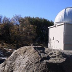
In-Ko-Pah Gorge, Canyon in Imperial County, United States.
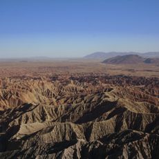
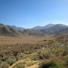
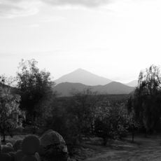
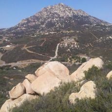
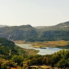
In-Ko-Pah Gorge is a canyon in the California desert carved by two main water channels and featuring layered sedimentary and volcanic rocks. The canyon walls display varied colors and textures created by natural erosion processes over time.
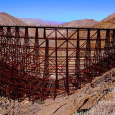
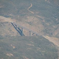
Originally known as Myer Canyon, the gorge served as a natural passage for Native American tribes traveling through the region. It later became part of the Interstate 8 highway corridor, transforming it into a modern transportation route.
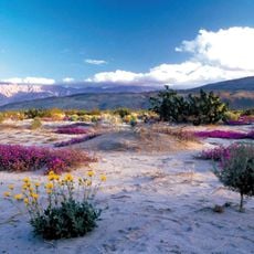
This natural corridor in the California desert connects different ecosystems, from the Jacumba Mountains to the Yuha Desert, influencing local wildlife patterns.
The interstate highway passes through the gorge and drivers should monitor weather conditions as rockslides can occur during storms. Travel is easiest during dry periods when visibility is good and road conditions are most stable.
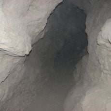
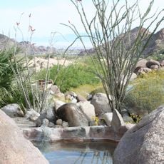
Two streams merge within the canyon and have carved through granitic bedrock over thousands of years. The granite surfaces develop a distinctive reddish-orange color that marks where water has continuously worn away the rock.
Location: Imperial County
GPS coordinates: 32.72361,-116.04000
Latest update: December 9, 2025 20:21
Anza-Borrego Desert State Park
68.4 km
Goat Canyon Trestle
13.4 km
Cuyamaca Rancho State Park
55.3 km
Salton Buttes
66 km
Cuyamaca Peak
58.5 km
Sonny Bono Salton Sea National Wildlife Refuge
55.5 km
Desert View Tower
9.1 km
Galleta Meadows Estate
70.2 km
Mount Laguna Observatory
38.6 km
Mud Caves
26.4 km
Pine Valley Creek Bridge
49.9 km
El Vallecito
30.2 km
Sawtooth Mountains Wilderness
35.5 km
Fish Creek Mountains Wilderness
28 km
Viejas Mountain
66 km
Museo Sol del Niño
53.8 km
Barrett Dam
59.3 km
Tecate Peak
62.9 km
Guadalupe Canyon Hot Springs
67.8 km
La Posta Astro-Geophysical Observatory
37.4 km
Lyons Peak
67.8 km
Calexico Carnegie Library
51.6 km
Morena Reservoir
46.4 km
Pacific Southwest Railway Museum Association
42.3 km
"Camp Alaska" Site Museum
18.9 km
Estación de Inspección de los Estados Unidos-Tecate
57.4 km
Pacific Crest Trail Southern Terminus
42.7 km
Punta Este Corporativo
60.5 kmVisited this place? Tap the stars to rate it and share your experience / photos with the community! Try now! You can cancel it anytime.
Discover hidden gems everywhere you go!
From secret cafés to breathtaking viewpoints, skip the crowded tourist spots and find places that match your style. Our app makes it easy with voice search, smart filtering, route optimization, and insider tips from travelers worldwide. Download now for the complete mobile experience.
A unique approach to discovering new places❞
— Le Figaro
All the places worth exploring❞
— France Info
A tailor-made excursion in just a few clicks❞
— 20 Minutes