Imperial County, Administrative county in Southern California, United States
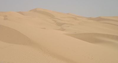
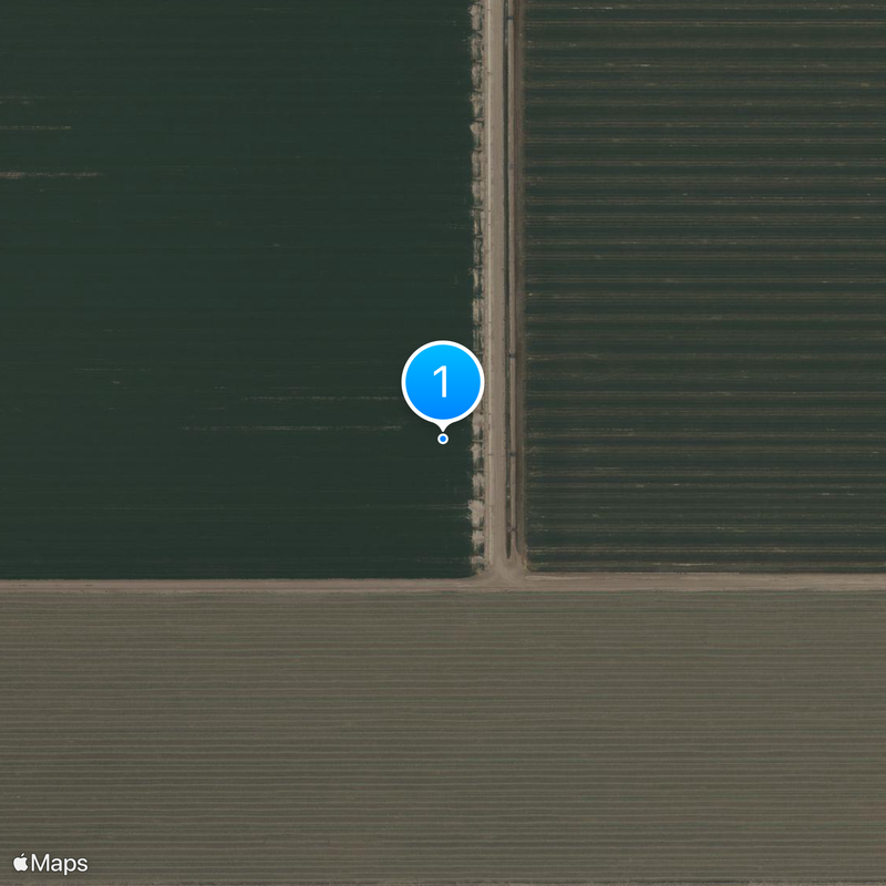
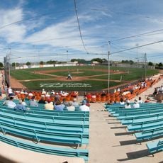
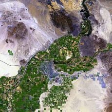
Imperial County is an administrative unit in southern California bordering Mexico, spanning a mix of desert landscape and irrigated fields. The area includes seven cities, among them El Centro as the administrative center, plus rural areas with communities along the Salton Sea and the Colorado Desert.
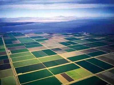
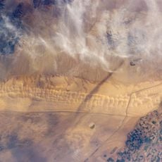
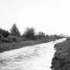
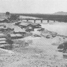
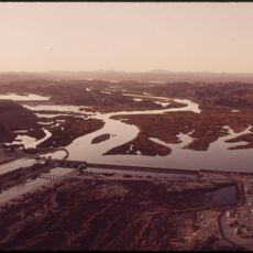
The administrative unit was created in 1907 from parts of San Diego County, marking the last new county in California. Irrigation projects transformed the dry Colorado Desert into farmable land from the early 20th century onward.
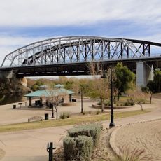
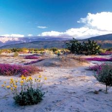
The name comes from Imperial Valley, which was created through an extensive irrigation system drawing water from the Colorado River. Visitors today see fields directly bordering dry desert terrain, and small towns with Spanish-language shops and restaurants reflecting daily exchange with neighboring communities across the border.
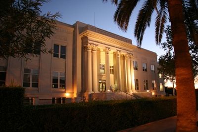
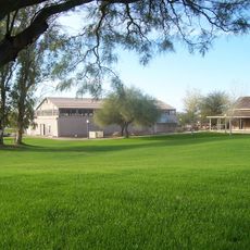
The administrative center in El Centro offers public services such as permits and documents. Most towns sit along the main roads crossing the valley, with gas stations and shops in the larger settlements.
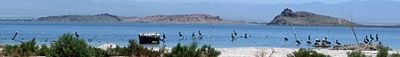
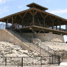
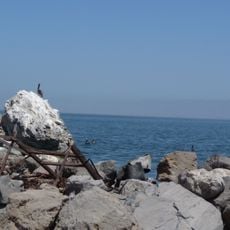
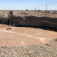
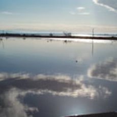
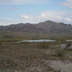
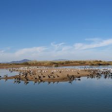
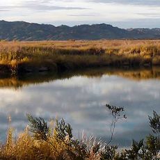
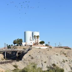
The Salton Sea, a shallow inland body of water southeast of the towns, formed in 1905 when an irrigation canal broke and is now a major stopover for migratory birds. Nearby, power plants use underground heat to generate electricity.
Location: California
Inception: 1907
Capital city: El Centro
Shares border with: San Diego County, Riverside County, La Paz County, Yuma County, Mexicali, Tecate
Website: https://imperialcounty.org
GPS coordinates: 33.04000,-115.35000
Latest update: December 4, 2025 19:05
Salvation Mountain
26.4 km
Yuma Territorial Prison
77.1 km
Algodones Dunes
26.4 km
All-American Canal
84 km
Old Plank Road
54.2 km
Salton Buttes
30.8 km
Niland Geyser
34.5 km
Alamo Canal
64 km
Sonny Bono Salton Sea National Wildlife Refuge
37.8 km
Desert Sun Stadium
78.8 km
Desert View Tower
81.9 km
Ocean To Ocean Bridge
76.9 km
Yuma Crossing
76.9 km
Pilot Knob
65.8 km
Picacho State Recreation Area
69.2 km
Fish Creek Mountains Wilderness
62.3 km
Cibola National Wildlife Refuge
68.6 km
Yuma Quartermaster Depot State Historic Park
76.1 km
Imperial National Wildlife Refuge
61.6 km
Little Picacho Wilderness
73.8 km
Imperial Reservoir
84.2 km
Mission Puerto de Purísima Concepción
76.8 km
Museo Sol del Niño
44.5 km
Brown House
76.8 km
Z Fun Factory and Waylon's Water World
84 km
St. Paul's Episcopal Church
77.2 km
United States Post Office–Yuma Main
77.1 km
Masonic Temple
76.6 kmReviews
Visited this place? Tap the stars to rate it and share your experience / photos with the community! Try now! You can cancel it anytime.
Discover hidden gems everywhere you go!
From secret cafés to breathtaking viewpoints, skip the crowded tourist spots and find places that match your style. Our app makes it easy with voice search, smart filtering, route optimization, and insider tips from travelers worldwide. Download now for the complete mobile experience.
A unique approach to discovering new places❞
— Le Figaro
All the places worth exploring❞
— France Info
A tailor-made excursion in just a few clicks❞
— 20 Minutes